- Usage in publication:
-
- Manasquan marl
- Modifications:
-
- Named
- Dominant lithology:
-
- Marl
- Greensand
- AAPG geologic province:
-
- Atlantic Coast basin
Summary:
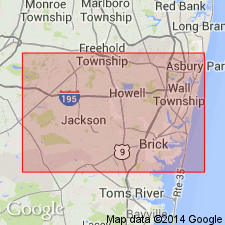
Manasquan marl named for excellent section of strata on Manasquan River, Monmouth Co., east-central NJ. Consists of greensand throughout. Highly quartzose in lower 40 ft. The upper more glauconitic member, 25 ft thick, is known as the "ash marl." [Unconformably] underlies Shark River marl and conformably overlies Middle marl bed [Rancocas group].
Source: GNU records (USGS DDS-6; Reston GNULEX).
- Usage in publication:
-
- Manasquan Formation*
- Modifications:
-
- Overview
- Biostratigraphic dating
- Dominant lithology:
-
- Sand
- Silt
- AAPG geologic province:
-
- Atlantic Coast basin
Summary:
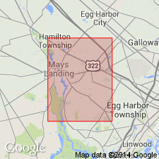
The Manasquan Formation, in outcrop east and southeast of Trenton and along the Manasquan River in NJ, consists of two informal members; a lower quartz glauconite sand and an upper clayey silt (the "ash marl" of Clark, 1893). The Manasquan, which is early Eocene in age, is represented by calcareous nannofossil Zones NP12, NP13, and lower NP14 of Martini (1971). It was deposited between 55.3 m.y. and 52.1 m.y. ago using the geochronology of Berggren and others (1985). Known to be at least 51 ft thick and unconformably overlain with a sharp contact by the Shark River Formation at the corehole site.
Source: GNU records (USGS DDS-6; Reston GNULEX).
- Usage in publication:
-
- Manasquan Formation*
- Modifications:
-
- Age modified
- AAPG geologic province:
-
- Atlantic Coast basin
Summary:
The Paleocene-Eocene boundary occurs within the [lower part of the] Manasquan between zones NP9 and 10. There appears to be continuous deposition across the boundary and NJ may have the best marine Paleocene-Eocene boundary section in the world. Unconformably overlies the Vincentown Formation.
Source: GNU records (USGS DDS-6; Reston GNULEX).
- Usage in publication:
-
- Manasquan Formation*
- Modifications:
-
- Overview
- AAPG geologic province:
-
- Atlantic Coast basin
Summary:
Paleocene-Eocene boundary occurs within Manasquan Formation, between calcareous nannofossil Zones NP9 and NP10. Continuous deposition across boundary is indicated. Cores GL913, GL915, and GL917, all located northwest of New Brooklyn in south-central NJ, show Manasquan correlating with calcareous nannofossil Zones NP 9 and NP 10. Unconformably underlies early Miocene Kirkwood Formation; conformably overlies late Paleocene Vincentown Formation. Correlates with Marlboro Clay and Nanjemoy Formation (separated by hiatus) of VA and MD, and with intertonguing Bashi and Hatchetigbee Formations of AL. Age is late Paleocene and early Eocene.
Source: GNU records (USGS DDS-6; Reston GNULEX).
- Usage in publication:
-
- Manasquan Formation*
- Modifications:
-
- Biostratigraphic dating
- AAPG geologic province:
-
- Atlantic Coast basin
Summary:
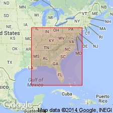
The Manasquan Formation in New Jersey spans calcareous nannofossil zones NP9 and NP10 and shows that there was continuous deposition across the Paleocene-Eocene boundary. The Paleocene-Eocene boundary occurs in the lower part of the formation. The Manasquan Formation correlates with the Marlboro Clay and Nanjemoy Formation of Virginia and Maryland.
Source: GNU records (USGS DDS-6; Reston GNULEX).
For more information, please contact Nancy Stamm, Geologic Names Committee Secretary.
Asterisk (*) indicates published by U.S. Geological Survey authors.
"No current usage" (†) implies that a name has been abandoned or has fallen into disuse. Former usage and, if known, replacement name given in parentheses ( ).
Slash (/) indicates name conflicts with nomenclatural guidelines (CSN, 1933; ACSN, 1961, 1970; NACSN, 1983, 2005, 2021). May be explained within brackets ([ ]).

