- Usage in publication:
-
- Mahomet sand
- Modifications:
-
- Named
- Dominant lithology:
-
- Sand
- Gravel
- AAPG geologic province:
-
- Illinois basin
Summary:
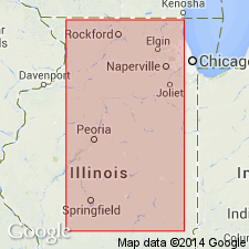
Mahomet sand here defined as oldest deposit underlying glacial till or clearly related outwash along Mahomet bedrock valley. Known only from the subsurface. Penetrated by a number of borings in Champaign Co., IL. Well samples indicate deposit consists of sand and gravel in roughly equal proportions and is composed of a wide variety of rocks and minerals, dominantly of sedimentary origin. Not to be confused with "Mahomet beds" of Farmdale age exposed near same locality and referred to informally by Cable (1921).
Source: GNU records (USGS DDS-6; Reston GNULEX).

- Usage in publication:
-
- Mahomet Member
- Modifications:
-
- Revised
- Areal extent
- AAPG geologic province:
-
- Illinois basin
Summary:
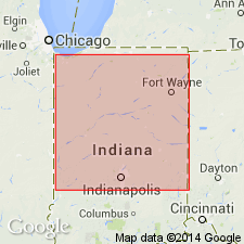
Mahomet Member of Jessup Formation. Sand and gravel. In Lafayette bedrock valley system of Indiana, the Mahomet is assigned to the Jessup Formation.
Mahomet is assigned to the Jessup in the Mahomet Valley Section because it appears to be part of a Brookston megasequence and derived from an eastern source. Overlies newly defined West Lebanon Till Member of Banner Formation.
Reference sections (subsurface): DNR test hole 1, in NW/4 SW/4 NW/4 sec. 31, T. 24 N., R. 9 W., Benton Co., and DNR test hole 7, in NW/4 SW/4 SE/4 sec. 34, T. 26 N., R. 3 E., Carroll Co., IN.
Source: GNU records (USGS DDS-6; Reston GNULEX).

- Usage in publication:
-
- Mahomet Sand Member
- Modifications:
-
- Areal extent
- Overview
- AAPG geologic province:
-
- Illinois basin
Summary:
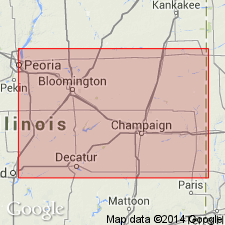
Mahomet Sand Member of the Banner Formation is restricted to the Mahomet and Kenney bedrock valleys of IL. Unit is here revised to include a silt facies in tributary valleys and locally in the main valley. As here defined, therefore, Mahomet consists of a coarse, gravelly sand facies found primarily in the main valley and an interfingering silt facies, which consists of calcareous silt and clay. Sand facies averages more than 30 m and reaches a maximum of 45 m. Silt facies is locally greater than 12 m. Mahomet Sand Member is equivalent to and correlates, at least in part, with Sankoty Sand Member of Banner Formation, which is restricted to the Mackinaw Valley. Probably also correlates with the Hegeler and Belgium Members of the Banner, which are restricted to an upland bedrock valley near Danville (Johnson, 1971: IL Circ. 457). Silt facies underlies Harmattan Till Member and overlies a red till that may correlate with the West Lebanon Till Member (Bleuer, this volume) of IN. Sand facies underlies Glasford Formation. Age is pre-Illinoian.
Source: GNU records (USGS DDS-6; Reston GNULEX).
For more information, please contact Nancy Stamm, Geologic Names Committee Secretary.
Asterisk (*) indicates published by U.S. Geological Survey authors.
"No current usage" (†) implies that a name has been abandoned or has fallen into disuse. Former usage and, if known, replacement name given in parentheses ( ).
Slash (/) indicates name conflicts with nomenclatural guidelines (CSN, 1933; ACSN, 1961, 1970; NACSN, 1983, 2005, 2021). May be explained within brackets ([ ]).

