The National Geologic Map Database is migrating to a new infrastructure. We apologize for any service disruptions during this process.
|
|---|


- Usage in publication:
-
- Magill Member
- Modifications:
-
- Named
- Dominant lithology:
-
- Mudstone
- AAPG geologic province:
-
- Snake River basin
Summary:
Pg. 61, 63-64, pl. 1. Magill Member, uppermost member (of 3) of Trowbridge Formation. Composed predominantly of black mudstone similar to dark mudstones of Rosebud Member (new) with sparse and thin intercalated beds of calcareous sandstone and limestone. Thickness is about 2,000 feet. Overlies Officer Member (new) of Trowbridge Formation; underlies Lonesome Formation. Age is Late Jurassic (Callovian).
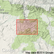
Type area: exposures in NE/4 sec. 32, T. 17 N., R. 28 E., Suplee-Izee area, Grant Co., east-central OR. Named from Magill Creek.
Source: US geologic names lexicon (USGS Bull. 1350, p. 457-458); supplemental information from GNU records (USGS DDS-6; Menlo GNULEX).
For more information, please contact Nancy Stamm, Geologic Names Committee Secretary.
Asterisk (*) indicates published by U.S. Geological Survey authors.
"No current usage" (†) implies that a name has been abandoned or has fallen into disuse. Former usage and, if known, replacement name given in parentheses ( ).
Slash (/) indicates name conflicts with nomenclatural guidelines (CSN, 1933; ACSN, 1961, 1970; NACSN, 1983, 2005, 2021). May be explained within brackets ([ ]).