The National Geologic Map Database is migrating to a new infrastructure. We apologize for any service disruptions during this process.
|
|---|


- Usage in publication:
-
- Luther Formation
- Modifications:
-
- Named
- Dominant lithology:
-
- Limestone
- Shale
- AAPG geologic province:
-
- Appalachian basin
Summary:
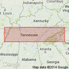
The Luther Formation is here named in the area southeast of the Clinchport thrust fault in Hancock and Hawkins Cos., TN. It consists of beds of fine-grained red and yellow limestone, argillaceous limestone, and shale. Gradationally overlies the Lonesome Pine Formation; gradationally underlies the Witten Limestone. Partly correlative with the Bowen Formation. Thickness is 35 m (117 ft) at type section. Age is Middle Ordovician.
Source: GNU records (USGS DDS-6; Reston GNULEX).
For more information, please contact Nancy Stamm, Geologic Names Committee Secretary.
Asterisk (*) indicates published by U.S. Geological Survey authors.
"No current usage" (†) implies that a name has been abandoned or has fallen into disuse. Former usage and, if known, replacement name given in parentheses ( ).
Slash (/) indicates name conflicts with nomenclatural guidelines (CSN, 1933; ACSN, 1961, 1970; NACSN, 1983, 2005, 2021). May be explained within brackets ([ ]).