

- Usage in publication:
-
- Lund Tuff Member
- Modifications:
-
- Named
- Dominant lithology:
-
- Tuff
- AAPG geologic province:
-
- Great Basin province
Summary:
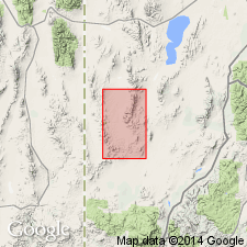
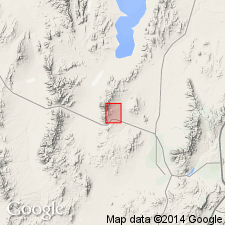
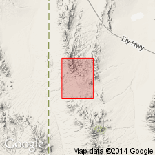
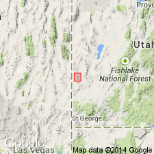
Named for town of Lund as a member (1 of 4) of Needles Range Formation. Type locality designated as extending from sec 6, T32S, R14W to sec 1, T32S, R15W, Iron Co, UT in the Great Basin province. Geologic maps. Columnar section shows sequence at type where Lund: 1) overlies Wah Wah Springs Tuff Member of Needles Range; 2) consists of (ascending) 107 m welded, red tuff, 122 m of highly welded tuff, and 96 m of moderately welded gray to pink tuff; 3) underlies Isom Formation. The three divisions of the Lund are gradational. Member distinguished by large abundant quartz crystals and by presence of sphene. The next younger member of the Needles Range is the newly named Wallaces Peak Tuff Member, top member of the formation. Wallaces Peak is found above Lund at the locality of Wallaces Peak. Of middle Tertiary age.
Source: GNU records (USGS DDS-6; Denver GNULEX).
- Usage in publication:
-
- Lund Tuff Member
- Modifications:
-
- First used
- AAPG geologic province:
-
- Great Basin province
Summary:
First use of the Lund Tuff Member of the Needles Range Formation. Age is Oligocene.
Source: GNU records (USGS DDS-6; Menlo GNULEX).
- Usage in publication:
-
- Lund Tuff Member*
- Modifications:
-
- Adopted
- AAPG geologic province:
-
- Great Basin province
Summary:
Lund Tuff Member of the Needles Range Formation of Best and others (1973) is adopted. Age is Oligocene.
Source: GNU records (USGS DDS-6; Menlo GNULEX).
- Usage in publication:
-
- Lund Formation*
- Modifications:
-
- Revised
- AAPG geologic province:
-
- Great Basin province
Summary:
Raised in stratigraphic rank from Lund Tuff Member, Needles Range Formation to Lund Formation, Needles Range Group. Present areal extent in southwest UT and east-central NV, Great Basin province, shown on a figure. Originally covered an area of about 11,000 cubic km. Had a volume of 1,600 cubic km. Divided into an older tuff and a younger andesite flow member. Reference section for tuff member in secs 9 and 10, and SW1/4 sec 16, T5N, R67E Lincoln Co, NV in the Great Basin province. Reference section for Lund in secs 6 and 7, T32S, R17W and secs 11 and 12, T32S, R18W, Iron Co, UT in Great basin province--Lund lies between Ryan Spring and Isom Formations at that locality. Its source was the White Rock caldera. Has an average age of 27.9 m.y. (K-Ar and Zr fission-track methods). Assigned to the Oligocene. Stratigraphic chart.
Source: GNU records (USGS DDS-6; Denver GNULEX).

- Usage in publication:
-
- Lund Formation*
- Modifications:
-
- Mapped 1:24k
- Dominant lithology:
-
- Tuff
- AAPG geologic province:
-
- Great Basin province
Summary:
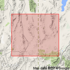
Is Oligocene formation mapped in southern part of Mountain Home Range in western Beaver Co, southwest UT (Great Basin province). Is fourth of four (ascending) formations of Needles Range Group (Oligocene) mapped in study area. Overlies Wah Wah Springs Formation of Needles Range Group. Is youngest formal bedrock unit mapped. Map unit described as light-gray, porous, weakly welded tuff; phenocrysts are plagioclase (20% of whole rock), pale amethystine quartz as large as 6 mm in diameter (8%), biotite (6%), hornblende (4%), Fe-Ti oxides (1%), and sphene (trace). Normal magnetic polarity. Thickness of incomplete sections is about 90 m.
Source: GNU records (USGS DDS-6; Denver GNULEX).
- Usage in publication:
-
- Lund Formation*
- Modifications:
-
- Revised
- AAPG geologic province:
-
- Great Basin province
Summary:
The Lund Formation, as a formation in the Needles Range Group, is succeeded by the Ripgut Formation, a new formal name that replaces the earlier term formation of Ripgut Springs. Ripgut is the uppermost formation in the Needles Range. Lund has a present areal extent of 27,000 sq km, a restored area of 18,000 sq km, a restored volume of 1,500 +/-2,200 cubic km, and was derived from the White Rock caldera. Stratigraphic table. Areal extent map. Oligocene age.
Source: GNU records (USGS DDS-6; Denver GNULEX).
- Usage in publication:
-
- Lund Formation*
- Modifications:
-
- Areal extent
- AAPG geologic province:
-
- Great Basin province
Summary:
Lund Formation is geographically extended into the report area. Age is Oligocene (29.5 Ma).
Source: GNU records (USGS DDS-6; Menlo GNULEX).
For more information, please contact Nancy Stamm, Geologic Names Committee Secretary.
Asterisk (*) indicates published by U.S. Geological Survey authors.
"No current usage" (†) implies that a name has been abandoned or has fallen into disuse. Former usage and, if known, replacement name given in parentheses ( ).
Slash (/) indicates name conflicts with nomenclatural guidelines (CSN, 1933; ACSN, 1961, 1970; NACSN, 1983, 2005, 2021). May be explained within brackets ([ ]).