- Usage in publication:
-
- Lulbegrud clay
- Modifications:
-
- First used
- Dominant lithology:
-
- Clay
- AAPG geologic province:
-
- Cincinnati arch
Summary:
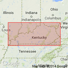
Pg. 145. See entry under Foerste (1906).
[According to GNU records (USGS DDS-6; Reston GNULEX, Mar. 3, 1987), this is the "first published use" of the Lulbegrud; proposal did not meet nomenclatural guidelines (shown on stratigraphic table, no description).]
Source: Modified from GNU records (USGS DDS-6; Reston GNULEX).
- Usage in publication:
-
- Lulbegrud clay
- Modifications:
-
- Named
- Dominant lithology:
-
- Clay
- AAPG geologic province:
-
- Cincinnati arch
Summary:
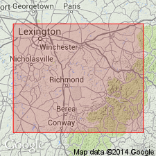
Pg. 10, 59; also 1905, Kentucky Geol. Survey Bull., no. 6, p. 145. Lulbegrud clay. Clay, 10 to 13 feet thick, forms basal member of Alger formation (of Niagaran age). Underlies Waco limestone (of Alger formation) and overlies Indian Fields formation (also of Niagaran age). Recognized in east-central Kentucky. Age is Silurian (Niagaran). [In 1931 (Kentucky Geol. Survey, ser. 6, v. 36, p. 172, 173) Foerste assigned this clay to Clinton epoch.]
Named for Lulbegrud Creek, Clark and Powell Cos., east-central KY.
Source: US geologic names lexicon (USGS Bull. 896, p. 1237); supplemental information from GNU records (USGS DDS-6; Reston GNULEX).
- Usage in publication:
-
- Lulbegrud Shale Member
- Modifications:
-
- Revised
- AAPG geologic province:
-
- Cincinnati arch
Summary:
Reassigned as the Lulbegrud Shale Member of the Noland Formation.
Source: GNU records (USGS DDS-6; Reston GNULEX).
- Usage in publication:
-
- Lulbegrud Shale Member*
- Modifications:
-
- Revised
- AAPG geologic province:
-
- Cincinnati arch
Summary:
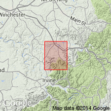
Reassigned as Lulbegrud Shale Member of Crab Orchard Formation.
Source: GNU records (USGS DDS-6; Reston GNULEX).
- Usage in publication:
-
- Lulbegrud Shale Member*
- Modifications:
-
- Revised
- AAPG geologic province:
-
- Cincinnati arch
Summary:
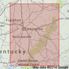
Reassigned as Lulbegrud Shale Member of Alger Shale. "The Lulbegrud is composed almost entirely of greenish-gray, poorly fissile shale, with sparse beds and lenses of dolomite generally an inch or less thick, and sparse megafossils, mostly brachiopods." Ranges in thickness from 2 to 21 ft south of Fleming Co., KY. Underlain by Oldham Member of Drowning Creek Formation; overlain by Waco Member of Alger Shale.
Source: GNU records (USGS DDS-6; Reston GNULEX).
For more information, please contact Nancy Stamm, Geologic Names Committee Secretary.
Asterisk (*) indicates published by U.S. Geological Survey authors.
"No current usage" (†) implies that a name has been abandoned or has fallen into disuse. Former usage and, if known, replacement name given in parentheses ( ).
Slash (/) indicates name conflicts with nomenclatural guidelines (CSN, 1933; ACSN, 1961, 1970; NACSN, 1983, 2005, 2021). May be explained within brackets ([ ]).

