The National Geologic Map Database is migrating to a new infrastructure. We apologize for any service disruptions during this process.
|
|---|


- Usage in publication:
-
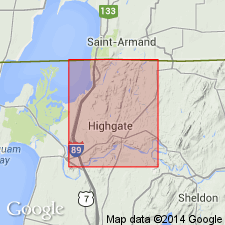
- Luke Hill formation
- Modifications:
-
- Named
- Dominant lithology:
-
- Limestone
- AAPG geologic province:
-
- New England province
Summary:
Named the Luke Hill formation in northwestern VT for beds assigned to unit B3 of Logan's section of Philipsburg series of Quebec. Consists of 160 feet of dark bluish-gray, thin-bedded limestone.
Source: GNU records (USGS DDS-6; Reston GNULEX).
- Usage in publication:
-
- Luke Hill limestone
- Modifications:
-
- Revised
- AAPG geologic province:
-
- New England province
Summary:
The Luke Hill is revised to the Luke Hill limestone of the Beekmantown group on the geologic map of VT. Unit is combined with the Naylor Ledge and Hastings Creek limestones east of the Philipsburg thrust and all three are stratigraphically equivalent to the Bascom formation. The Luke Hill is of Early Ordovician age.
Source: GNU records (USGS DDS-6; Reston GNULEX).
For more information, please contact Nancy Stamm, Geologic Names Committee Secretary.
Asterisk (*) indicates published by U.S. Geological Survey authors.
"No current usage" (†) implies that a name has been abandoned or has fallen into disuse. Former usage and, if known, replacement name given in parentheses ( ).
Slash (/) indicates name conflicts with nomenclatural guidelines (CSN, 1933; ACSN, 1961, 1970; NACSN, 1983, 2005, 2021). May be explained within brackets ([ ]).