- Usage in publication:
-
- Lugert granite
- Modifications:
-
- First used
- Dominant lithology:
-
- Granite
- AAPG geologic province:
-
- South Oklahoma folded belt
- Palo Duro basin
Taylor, C.H., 1915, Granites of Oklahoma: Oklahoma Geological Survey Bulletin, no. 20, 108 p.
Summary:
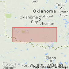
First published use; intent to name not stated. In addition to outcrops in the Lugert area, is correlated with granite present over a large area: in the Mount Scott area, Comanche County; in the northwest part of the Cooperton area, Kiowa County; and in the Mountain Park area, near Snyder, Kiowa County. Also present in Navajoe Mountain area, just north of Headrick, Jackson County, Palo Duro basin. Lugert is described as a fine, subequigranular to equigranular red granite composed dominantly of feldspar and quartz. Varies locally in texture and mineral content; however, prevailing type is a fine-grained intergrowth of quartz and microperthite. Younger than the Reformatory granite (new). Granite dikes which appear to be the same as the Lugert cut the Cold Springs granite (new) in the Cold Springs area, Kiowa County. If this correlation is correct the Lugert granite is the next to youngest granite in the district [the youngest is the "Elk Mountain intrusion"]. Age is pre-Middle Cambrian [based on the fact that all of the granites are overlain unconformably by the Reagan sandstone which, according to Ulrich (1904), is Middle Cambrian]. Age is Precambrian. Report includes geologic map.
Type locality not designated. Derivation of name not stated, but probably named from the town of Lugert, Kiowa Co., OK, in S. Oklahoma folded belt province, Wichita Mountains district.
Source: Modified from GNU records (USGS DDS-6; Denver GNULEX).

- Usage in publication:
-
- Lugert Granite
- Modifications:
-
- Revised
- Areal extent
- AAPG geologic province:
-
- South Oklahoma folded belt
- Palo Duro basin
Summary:
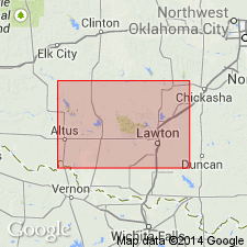
Lugert Granite of /Wichita Granite Group revised. Intrudes newly named Mount Scott Granite in the Snyder area, east-central Wichita Mountains, Kiowa County, Oklahoma. The Mount Scott was mapped as Lugert Granite by Taylor (1915) and by Hoffman (1930), but author believes sufficient evidence has accumulated to designate it as a separate granite. Most of the Mount Scott is granophyric, whereas Lugert is not (except locally); Mount Scott has elliptical zoned feldspars, and Lugert does not. Both granites are present in Snyder area, east-central Wichita Mountains, and are so mixed that they cannot be separately mapped. Type locality of Lugert Granite is in the western Wichita Mountains, Oklahoma. Direct correlation cannot be made between rocks in that area and rocks in the eastern Wichita Mountains, because they are separated by wide outcrops of Permian sediments. The granites of both areas resemble one another closely mineralogically, but differ texturally. As shown on the accompanying geologic map, Wichita Granite Group is comprised of (oldest to youngest) Mount Scott, Lugert, and Quanah Granites. Age of Wichita Granite Group is Middle Cambrian(?), approximately 525 Ma, based on isotopic dates provided by Tilton, Wetherill, and Davis (1962). Mount Scott is the oldest granite in the eastern part of the Wichita Mountains. Report includes geologic map, chemical analyses.
[Wichita Granite Group preempted by Wichita [Group] of Cummins (1890) in TX; conflicts with nomenclature guidelines stating a group name combines a geographic name with the term "group," and no lithic designation is included (ACSN, 1961, 1970; NACSN, 1983, 2005, 2021).]
Source: Modified from GNU records (USGS DDS-6; Denver GNULEX).
For more information, please contact Nancy Stamm, Geologic Names Committee Secretary.
Asterisk (*) indicates published by U.S. Geological Survey authors.
"No current usage" (†) implies that a name has been abandoned or has fallen into disuse. Former usage and, if known, replacement name given in parentheses ( ).
Slash (/) indicates name conflicts with nomenclatural guidelines (CSN, 1933; ACSN, 1961, 1970; NACSN, 1983, 2005, 2021). May be explained within brackets ([ ]).

