- Usage in publication:
-
- Lufkin member
- Modifications:
-
- Original reference
Summary:
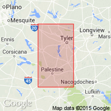
Pg. 521, 534. Lufkin member of Cook Mountain formation. Top member of Cook Mountain formation. Underlies Yegua formation and overies Nacogdoches member of Cook Mountain formation. Consists of 300 to 400 feet of marine chocolate-brown clay, containing some fossiliferous beds, some glauconitic beds, and thin beds of sand. Upper 5 to 15 feet generally contains macrofossils, making this member easily recognizable as distinct from overlying Yegua formation. Weathers reddish brown. The term Lufkin was introduced by G.M. Knebel and Miss Alva Ellisor. [The compiler has been unable to find where Mr. Knebel and Miss Ellisor published this name, and Renick does not give the reference. Occurs in eastern Texas.]
Source: US geologic names lexicon (USGS Bull. 896, p. 1236).
For more information, please contact Nancy Stamm, Geologic Names Committee Secretary.
Asterisk (*) indicates published by U.S. Geological Survey authors.
"No current usage" (†) implies that a name has been abandoned or has fallen into disuse. Former usage and, if known, replacement name given in parentheses ( ).
Slash (/) indicates name conflicts with nomenclatural guidelines (CSN, 1933; ACSN, 1961, 1970; NACSN, 1983, 2005, 2021). May be explained within brackets ([ ]).

