The National Geologic Map Database is migrating to a new infrastructure. We apologize for any service disruptions during this process.
|
|---|


- Usage in publication:
-
- Lucky Bill formation
- Modifications:
-
- First used
- Dominant lithology:
-
- Gravel
- Sand
- Tuff
- AAPG geologic province:
-
- Basin-and-Range province
Summary:
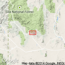
First use of name; shown on chart only. Origin of name not stated. Intent to name not stated and no type locality designated. Area of report is the Santa Rita quadrangle, Grant Co, NM in Basin-and-Range province. Underlies Miocene? rhyolite tuffs unconformably; overlies Miocene? Rubio Peak formation (first used). Consists of gravel, sand, and pumiceous tuffs; well sorted and stratified in places. Is 0-600 ft thick. Is of Miocene? age.
Source: GNU records (USGS DDS-6; Denver GNULEX).
For more information, please contact Nancy Stamm, Geologic Names Committee Secretary.
Asterisk (*) indicates published by U.S. Geological Survey authors.
"No current usage" (†) implies that a name has been abandoned or has fallen into disuse. Former usage and, if known, replacement name given in parentheses ( ).
Slash (/) indicates name conflicts with nomenclatural guidelines (CSN, 1933; ACSN, 1961, 1970; NACSN, 1983, 2005, 2021). May be explained within brackets ([ ]).