The National Geologic Map Database is migrating to a new infrastructure. We apologize for any service disruptions during this process.
|
|---|


- Usage in publication:
-
- Lucile series
- Modifications:
-
- Named
- Dominant lithology:
-
- Schist
- Shale
- Limestone
- Dolomite
- Phyllite
- AAPG geologic province:
-
- Idaho Mountains province
Summary:
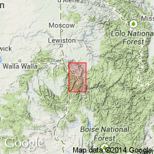
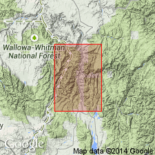
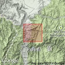
Named for its occurrence at Lucile, Idaho Co, ID in the Idaho Mountains province. Exposed (geologic map) in the canyon walls of the Salmon River from Lucile to Riggins, and in the canyon of the Salmon and Little Salmon Rivers east and south of Riggins beyond the map area. No type locality designated. Divisible into a lower graphitic schist and calcareous member, a middle limestone member, and an upper phyllitic and schistose member. The graphitic schist in the lower member is gray to black, has many scattered pyrite cubes, and is locally 400+ ft-thick. The calcareous shale in the lower member is gray, pink, thin-bedded, and is about 100 ft-thick. The graphitic schist and the shale may be equivalent. The middle member is a cliff-forming, gray limestone 500 ft-thick that is locally metamorphosed to dolomite and locally schistose, and fossiliferous (echinoids); has some lenticular tuffaceous beds that range from a few ft to 50+ ft-thick, and more than 50 ft long. The upper member is brown, gray, fine- to medium-grained phyllite and phyllitic schist more than 2,000 ft-thick with scattered pyrite cubes; becomes gneissic near the batholith. Upper member may have been partly derived from volcanic flows because traces of vesicular structure seen. Fossil fragments suggest Late Triassic age. Overlies Carboniferous age Pittsburgh formation. Underlies Miocene age Columbia River basalt.
Source: GNU records (USGS DDS-6; Denver GNULEX).
- Usage in publication:
-
- Lucile Slate*
- Modifications:
-
- Redescribed
- Revised
- Dominant lithology:
-
- Slate
- AAPG geologic province:
-
- Idaho Mountains province
Summary:
Redescribed from Lucile Series to Lucile Slate. Original definition included all rocks along the Salmon River from Lucile, Idaho Co, to Riggins, Idaho Co, Idaho Mountains province, and beyond to south and east. The original definition included Martin Bridge Limestone, Lucile Slate, and the newly named formations of the Riggins Group. Is restricted in this report to the dark-gray, calcareous slate. Type locality designated as highway cuts several hundred yards south of Lucile. Grayish-green slate also common. Bedding is obscured by slaty cleavage or foliation. Cleavage is folded, crumpled, and obliquely sheared in many outcrops. Disintegrates into a fine soil-covered rubble. Rocks are composed of quartz, muscovite, calcite, and carbon. Shown as Triassic? age on geologic map.
Source: GNU records (USGS DDS-6; Denver GNULEX).
- Usage in publication:
-
- Lucile slate*†
- Modifications:
-
- Abandoned
Summary:
Originally divided in the Lucile area, Idaho Co, ID (Idaho Mountains province) into a lower calcareous graphitic phyllite to schist, a middle metamorphosed limestone, and an upper metavolcanic schist and gneiss. The original Lucile was later modified. The limestone was removed from it and reassigned to the Martin Bridge Limestone, a name restricted to a general lithologic type whose rank term was thus modified from "Formation" to "Limestone" and extended into ID from OR. The name Lucile Shale was applied to the remaining upper slate. The present study shows that the calcareous phyllite does not consistently overlie marble. Rather, the schist and phyllite are complexly interfingered with the marble throughout the area. Only one unit can be mapped; therefore only one name is necessary. Also the limestone is recrystallized everywhere to marble and the slate is phyllite or schist. The name Martin Bridge is a lithologically heterogeneous unit in OR, and the name pre-dates Lucile. Therefore, Lucile Slate is abandoned in favor of Martin Bridge Formation.
Source: GNU records (USGS DDS-6; Denver GNULEX).
For more information, please contact Nancy Stamm, Geologic Names Committee Secretary.
Asterisk (*) indicates published by U.S. Geological Survey authors.
"No current usage" (†) implies that a name has been abandoned or has fallen into disuse. Former usage and, if known, replacement name given in parentheses ( ).
Slash (/) indicates name conflicts with nomenclatural guidelines (CSN, 1933; ACSN, 1961, 1970; NACSN, 1983, 2005, 2021). May be explained within brackets ([ ]).