The National Geologic Map Database is migrating to a new infrastructure. We apologize for any service disruptions during this process.
|
|---|


- Usage in publication:
-
- Lucien shale member
- Modifications:
-
- Named
- Dominant lithology:
-
- Shale
- Sandstone
- AAPG geologic province:
-
- Anadarko basin
- Chautauqua platform
Summary:
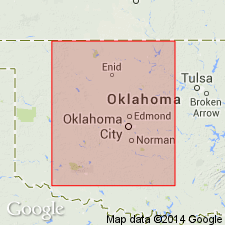
Named as lower member (of 2) of Garber sandstone (new) of Enid group (raised in rank). Type locality designated at the village of Lucien (source of name), in western Noble Co, OK. In OK, is exposed throughout a considerable part of eastern Garfield Co, Anadarko basin; and in western Noble and western Logan Cos on the Chautauqua platform. Consists largely of red, more or less fissile or laminated clay shales with several ledges of red sandstone, one of which generally occurs at base of the Lucien. Thickness approximates 250 ft. Overlies Wellington formation of Enid group; underlies Hayward sandstone member (new) of Garber sandstone of Enid group. Geologic map of north-central OK. Stratigraphic table. Of Permian age.
Source: GNU records (USGS DDS-6; Denver GNULEX).
For more information, please contact Nancy Stamm, Geologic Names Committee Secretary.
Asterisk (*) indicates published by U.S. Geological Survey authors.
"No current usage" (†) implies that a name has been abandoned or has fallen into disuse. Former usage and, if known, replacement name given in parentheses ( ).
Slash (/) indicates name conflicts with nomenclatural guidelines (CSN, 1933; ACSN, 1961, 1970; NACSN, 1983, 2005, 2021). May be explained within brackets ([ ]).