The National Geologic Map Database is migrating to a new infrastructure. We apologize for any service disruptions during this process.
|
|---|


- Usage in publication:
-
- Lower Monumental Member*
- Modifications:
-
- Original reference
- Dominant lithology:
-
- Basalt
- AAPG geologic province:
-
- Eastern Columbia basin
Summary:
Pg. G6 (fig. 2), G53-G54. Lower Monumental Member of Saddle Mountains Basalt of Yakima basalt subgroup [informal] of Columbia River Basalt Group. One flow of nearly aphyric basalt. Has normal magnetic polarity. Thickness about 30 m at type; ranges from about 25 to 60 m. Overlies river gravel in an ancestral Snake River canyon whose lower end appears to be eroded into Ice Harbor Member; believed to be youngest basalt of Columbia River Basalt Group. Age is late Miocene, based on whole-rock K-Ar age of about 6 Ma (citing McKee and others, 1977, GSA Abs. with Prog., v. 9, no. 4, p. 463-464). Thought to have been erupted in the eastern part of the Columbia plateau.
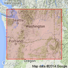
Type locality (pl. 1, fig. Q): prominent roadcut 1 km south of Lower Monumental Dam, in NW/4 SE/4 sec. 3, T. 12 N., R. 34 E., Lower Monumental Dam quadrangle, Walla Walla Co., southeastern WA.
[Yakima basalt subgroup considered informal and should not be capitalized. "Subgroup" not recognized as a formal stratigraphic rank term (CSN, 1933; ACSN, 1961, 1970; NACSN, 1983, 2005, 2021). Columbia River Basalt Group adopted by the ID, OR, and WA Geol. Surveys, and the USGS.]
Source: Publication; US geologic names lexicon (USGS Bull. 1564, p. 100-101); Changes in stratigraphic nomenclature, 1979 (USGS Bull. 1502-A, p. A43).
- Usage in publication:
-
- Lower Monumental Member*
- Modifications:
-
- Areal extent
- AAPG geologic province:
-
- Columbia basin
Summary:
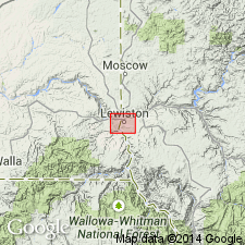
Geographically extended into area near Clearwater River in Lewiston Basin, ID, where unit overlies North Lewiston Gravel and underlies Clearwater Gravel, two informal [!] units described by Kuhn (master's thesis, 1980).
Source: GNU records (USGS DDS-6; Menlo GNULEX).
For more information, please contact Nancy Stamm, Geologic Names Committee Secretary.
Asterisk (*) indicates published by U.S. Geological Survey authors.
"No current usage" (†) implies that a name has been abandoned or has fallen into disuse. Former usage and, if known, replacement name given in parentheses ( ).
Slash (/) indicates name conflicts with nomenclatural guidelines (CSN, 1933; ACSN, 1961, 1970; NACSN, 1983, 2005, 2021). May be explained within brackets ([ ]).