The National Geologic Map Database is migrating to a new infrastructure. We apologize for any service disruptions during this process.
|
|---|


- Usage in publication:
-
- Low Hollow limestone member*
- Modifications:
-
- Named
- Dominant lithology:
-
- Limestone
- Dolomite
- AAPG geologic province:
-
- Appalachian basin
Summary:
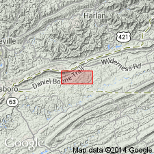
Named the Low Hollow limestone member of the Maynardville limestone for Low Hollow, 4-1/2 miles south of Rose Hill, Lee Co., VA. Consists of gray cryptocrystalline ribbon limestone in lower part and mottled limestone in upper part; interbedded fine-grained dolomite occurs near top. Thickness is 160 to 206 feet. Unit overlies the Conasauga shale and underlies the Chances Branch dolomite member of the Maynardville. The Low Hollow is of Late Cambrian age.
Source: GNU records (USGS DDS-6; Reston GNULEX).
- Usage in publication:
-
- Low Hollow limestone member*
- Modifications:
-
- Principal reference
- AAPG geologic province:
-
- Appalachian basin
Summary:
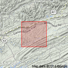
The type locality of the Low Hollow limestone member of the Maynardville limestone is designated along Fourmile Creek and VA-TN State line. Unit is 142 feet thick at type locality. It is also well exposed along road in Low Hollow, 4-1/2 miles south of Rose Hill and 1 mile south of Deans Store, Lee Co., VA.
Source: GNU records (USGS DDS-6; Reston GNULEX).
- Usage in publication:
-
- Low Hollow Limestone Member*
- Modifications:
-
- Areal extent
- AAPG geologic province:
-
- Appalachian basin
Summary:
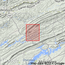
Geographically extended the Low Hollow Limestone Member of the Maynardville Formation to northeastern TN. Consists of medium dark gray calcilutite with 1 in. thick ribbons of olive gray argillaceous very finely crystalline dolomite. The top of the unit is marked by a distinctive 15 foot sequence of paper-thin laminated limestone that grades upward into dolomite. Thickness is 60 to 100 feet. Unit overlies the Nolichucky Shale and underlies the Chances Branch Dolomite Member of the Maynardville Formation. The Low Hollow is of Late Cambrian age.
Source: GNU records (USGS DDS-6; Reston GNULEX).
- Usage in publication:
-
- Low Hollow Limestone Member
- Modifications:
-
- Overview
- AAPG geologic province:
-
- Appalachian basin
Summary:
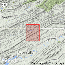
The Low Hollow Limestone Member of the Maynardville Formation in TN consists of bluish gray, laminated limestone and yellowish brown, fine- to very fine-grained limestone with thin shaly partings. Thickness is 125 feet. Unit overlies the Nolichucky Shale and underlies the Chances Branch Dolomite Member of the Maynardville Formation. The Low Hollow is of Late Cambrian age.
Source: GNU records (USGS DDS-6; Reston GNULEX).
For more information, please contact Nancy Stamm, Geologic Names Committee Secretary.
Asterisk (*) indicates published by U.S. Geological Survey authors.
"No current usage" (†) implies that a name has been abandoned or has fallen into disuse. Former usage and, if known, replacement name given in parentheses ( ).
Slash (/) indicates name conflicts with nomenclatural guidelines (CSN, 1933; ACSN, 1961, 1970; NACSN, 1983, 2005, 2021). May be explained within brackets ([ ]).