The National Geologic Map Database is migrating to a new infrastructure. We apologize for any service disruptions during this process.
|
|---|


- Usage in publication:
-
- Lovers Leap Granodiorite*
- Modifications:
-
- Age modified
- AAPG geologic province:
-
- Sierra Nevada province
Summary:
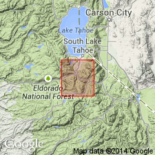
Lovers Leap Granodiorite of Loomis (1981) is shown on geologic map of Freel and Dardanelles Further Planning Area, El Dorado and Alpine Cos, CA. Consists of light-gray, fine- to medium-grained, porphyritic biotite granodiorite with abundant poikilitic potassium feldspar phenocrysts. Outcrops are typically unfoliated and diorite inclusions are uncommon. Age given as Late Cretaceous.
Source: GNU records (USGS DDS-6; Menlo GNULEX).
- Usage in publication:
-
- Lovers Leap granodiorite
- Modifications:
-
- Named
- Geochronologic dating
- Dominant lithology:
-
- Granodiorite
- AAPG geologic province:
-
- Sierra Nevada province
Summary:
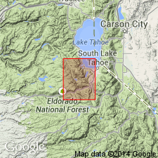
Lovers Leap hornblende-biotite granodiorite underlies 15 sq mi in south-central part of Fallen Leaf Lake 15' quad, El Dorado Co, CA. Extends into Silver Lake quad to south. Intruded by Wrights Lake and Bryan Meadow granodiorites. K-Ar age on biotite yielded 93.7 Ma (Evernden and Kistler, 1970). Age shown on map of quad is Cretaceous.
Source: GNU records (USGS DDS-6; Menlo GNULEX).
For more information, please contact Nancy Stamm, Geologic Names Committee Secretary.
Asterisk (*) indicates published by U.S. Geological Survey authors.
"No current usage" (†) implies that a name has been abandoned or has fallen into disuse. Former usage and, if known, replacement name given in parentheses ( ).
Slash (/) indicates name conflicts with nomenclatural guidelines (CSN, 1933; ACSN, 1961, 1970; NACSN, 1983, 2005, 2021). May be explained within brackets ([ ]).