- Usage in publication:
-
- Lovelock Formation
- Modifications:
-
- Named
- Dominant lithology:
-
- Alluvium
- AAPG geologic province:
-
- Great Basin province
Summary:
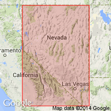
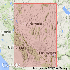
Named for Lovelock, Pershing Co, NV. Type locality designated as exposures in valley in Humboldt River for a mi below Rye Patch Dam, 22 mi north of Lovelock. Defined as subaerial Quaternary sediments in Lake Lahontan and contiguous areas that are coeval with or older than Humboldt Valley Soil. Consists of poorly sorted silty to sandy and pebbly alluvium intercalated with at least 6 weathering profiles of Humboldt Valley Soil. Also includes subaerial deposits correlative with at least preceding main lacustral interval, that is, with older pre-Lake Lahontan lacustrine unit. Thickness is as much as 50 ft at type locality where it underlies Rye Patch Formation (new).
Source: GNU records (USGS DDS-6; Menlo GNULEX).

- Usage in publication:
-
- Lovelock Alloformation
- Modifications:
-
- Redescribed
- AAPG geologic province:
-
- Great Basin province
Summary:
Lovelock Formation of Morrison and Frye (1965) redescribed as Lovelock Alloformation as defined in 1983 North American Stratigraphic Code. Stratigraphic chart of allostratigraphic and pedostratigraphic units in Lake Lahontan area shows Lovelock Alloformation and Humboldt Valley Geosol as approximately 1.1 Ma [Pleistocene age].
Source: GNU records (USGS DDS-6; Menlo GNULEX).
For more information, please contact Nancy Stamm, Geologic Names Committee Secretary.
Asterisk (*) indicates published by U.S. Geological Survey authors.
"No current usage" (†) implies that a name has been abandoned or has fallen into disuse. Former usage and, if known, replacement name given in parentheses ( ).
Slash (/) indicates name conflicts with nomenclatural guidelines (CSN, 1933; ACSN, 1961, 1970; NACSN, 1983, 2005, 2021). May be explained within brackets ([ ]).

