
- Usage in publication:
-
- Loveland joint clay
- Modifications:
-
- Original reference
- Dominant lithology:
-
- [Loess]
- AAPG geologic province:
-
- Iowa shelf
Summary:
Pg. 405. Loveland joint clay. Bed of reddish joint clay, which frequently shows stratification and often contains sand and pebbles in lower part. Thickness 0 to 30 or more feet. Rests on Aftonian sands and underlies fossiliferous post-Kansan bluish-gray loess. Evidently bears same relation to Kansan drift as Buchanan gravels, and probably belongs to period of melting of Kansan ice.
See also 1910, Science, n.s., v. 31, p. 75.
Type locality: in sec. 3, T. 77 N., R. 44 W., Pottawattamie Co., IA [Destroyed in 1957].
[GNC remark (US geologic names lexicon, USGS Bull. 896, p. 1224): The deposit is chiefly loess, according to W.C. Alden and F. Leverett. G.F. Kay considers it of post-Illinoian age, and F. Leverett considers it pre-Illinoian and pre-Iowan.]
Source: US geologic names lexicon (USGS Bull. 896, p. 1224).
- Usage in publication:
-
- Loveland formation
- Modifications:
-
- Revised
- AAPG geologic province:
-
- Chadron arch
Summary:
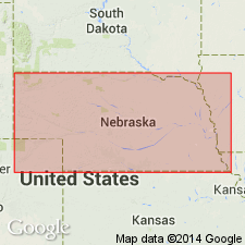
Pg. 326, 347-349. Loveland formation. Lower or "valley phase" consists of sand, gravel, and clay filling pre-Loveland valleys, and may be of Illinoian age. This "valley phase" seems to everywhere grade upward into the loess or "upland phase," which grows less and less sandy until it is quite typical loess clay and silt. Volcanic ash or pumicite occurs at base of loess phase quite generally in Nebraska. It is generally 5 to 8 feet thick, but southwest of Eustis, Frontier County, it is locally at least 50 feet thick. Entire formation is quite red. Thickness in eastern Nebraska 6 to 30 feet; in south-central Nebraska 15 to 40 feet; to west 100 to 150 feet. Covers about 42,000 sq mi of Nebraska. Thickness and textural coarseness increase westward. Assigned to Sangamon stage. Rests unconformably on Upland formation and underlies Sand Hills formation, in part of area, and Peorian loess in part of area.
Source: US geologic names lexicon (USGS Bull. 896, p. 1224).
- Usage in publication:
-
- Loveland formation
- Modifications:
-
- Areal extent
- AAPG geologic province:
-
- Salina basin
Summary:
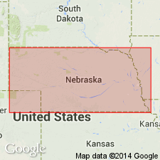
Pg. 25-26. Loveland formation. Overlies Crete formation (new). Thickness 8.5 feet at type section of Crete. Underlies Peorian formation. [Age is Pleistocene.]
Source: US geologic names lexicon (USGS Bull. 1200, p. 2247-2248).
- Usage in publication:
-
- Loveland silt member
- Modifications:
-
- Revised
- Areal extent
- AAPG geologic province:
-
- Chadron arch
- Nemaha anticline
- Salina basin
Summary:
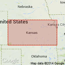
Pg. 42-45. Loveland loess was described from exposures in western Iowa and has been traced westward across Nebraska and southward from Nebraska as far as central Kansas. In this report stratigraphic equivalents of Loveland are designated Loveland silt member of Sanborn formation. Member includes eolian silts of the uplands and stratigraphically continuous colluvial silts on some slopes and fluvial-eolian silts of lower levels. Thickness 5 to 80 feet. Underlies Peoria silt member. [Age is Pleistocene.]
Source: US geologic names lexicon (USGS Bull. 1200, p. 2247).
- Usage in publication:
-
- Loveland loess
- Modifications:
-
- Areal extent
- AAPG geologic province:
-
- Illinois basin
- Upper Mississippi embayment
Leighton, M.M., and Willman, H.B., 1950, Loess formations of the Mississippi Valley: Journal of Geology, v. 58, no. 6, p. 599-623.
Summary:
Pg. 612, 616. [Loveland loess.] Extended into southern Illinois and southward into Tennessee and Mississippi.
Source: US geologic names lexicon (USGS Bull. 1200, p. 2247-2248).
- Usage in publication:
-
- Loveland loess
- Modifications:
-
- Areal extent
- AAPG geologic province:
-
- Cincinnati arch
Ray, L.L., 1957, Two significant new exposures of Pleistocene deposits along the Ohio River Valley in Kentucky: Journal of Geology, v. 65, no. 5, p. 542-545.
Summary:
Pg. 543. Loveland loess described at Medora, [Jefferson County], Kentucky, near Louisville. Thickness 10 to 12 feet. Overlies gravel; underlies Farmdale loess. Age is Pleistocene.
Source: US geologic names lexicon (USGS Bull. 1200, p. 2247-2248).
- Usage in publication:
-
- Loveland formation
- Modifications:
-
- Revised
- AAPG geologic province:
-
- Anadarko basin
Summary:
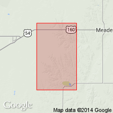
Pg. 55 (fig. 1). Loveland formation included in Sanborn group. Overlies Crete formation; underlies Peoria formation. Age is Pleistocene.
Source: US geologic names lexicon (USGS Bull. 1200, p. 2247-2248).
- Usage in publication:
-
- Loveland Silt
- Modifications:
-
- Areal extent
- Dominant lithology:
-
- Loess
- AAPG geologic province:
-
- Illinois basin
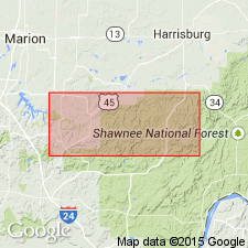
Summary:
Loveland Silt is primarily loess. Overlies Oak formation (new informal name) and is buried by the Roxana Silt. Blocky structure created by Sangamon Soil development. Ranges from 0.5 to 1.25 m thick. Absent on the narrow upland divides in the study area where it has been eroded. Commonly reddish brown to yellowish brown. Texture of weathered Loveland ranges from a silt loam to a silty clay loam. Clay and sand content increase with depth. Contains high percentage of kaolinite plus chlorite clay minerals.
Source: GNU records (USGS DDS-6; Reston GNULEX).
- Usage in publication:
-
- Loveland Formation
- Modifications:
-
- Revised
- AAPG geologic province:
-
- Wisconsin arch
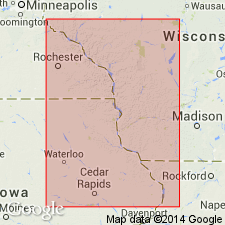
Summary:
Pleistocene (Illinoian) Loveland Formation (probably >125,000 yr B.P. and including Sangamon Geosol in its upper part) is here revised by contact with underlying middle Pleistocene Wyalusing Formation (new). It is also here geographically extended to WI. Report includes geochemical and mineralogic data.
Source: GNU records (USGS DDS-6; Reston GNULEX).
- Usage in publication:
-
- Loveland Loess*
- Modifications:
-
- Overview
- AAPG geologic province:
-
- Forest City basin
- Illinois basin
- Lincoln anticline
- Ozark uplift
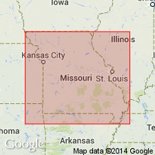
Summary:
Pg. 176. Loveland Loess. Davis (1954) identified the Loveland on uplands of Platte County, Missouri. Whitfield (IN Thompson, 1995, p. 147) stated "The Loveland Loess is a medium- to coarse-grained, noncalcareous silt, which contains very fine grains of sand. The amount of sand is greatest near the base of the loess. The Loveland is commonly dark-brown, but its upper part is often a very distinctive reddish-brown...Generally, the Loveland loess does not exceed a thickness of 20 feet. It is commonly found at high topographic positions near the Missouri River." Age is Pleistocene (Illinoian).
Source: Publication.
For more information, please contact Nancy Stamm, Geologic Names Committee Secretary.
Asterisk (*) indicates published by U.S. Geological Survey authors.
"No current usage" (†) implies that a name has been abandoned or has fallen into disuse. Former usage and, if known, replacement name given in parentheses ( ).
Slash (/) indicates name conflicts with nomenclatural guidelines (CSN, 1933; ACSN, 1961, 1970; NACSN, 1983, 2005, 2021). May be explained within brackets ([ ]).

