- Usage in publication:
-
- Loues Formation*
- Modifications:
-
- Named
- Dominant lithology:
-
- Schist
- AAPG geologic province:
-
- Midcontinent region
Summary:
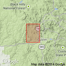
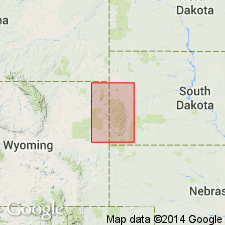
Named for Loues Creek on south side of Bear Mountain. Type section is along north boundary of Berne quad, [T2S, Rs3 and 4E], Pennington Co, SD in Midcontinent region. Extends south into Custer Co, SD in Berne quad and north into Medicine Mountain quad, Pennington Co. Is a uniform, well-exposed interbedded biotite-garnet and muscovite-rich schist 600-800 ft thick. Neither upper nor lower contacts appear to be conformable and neither contact is exposed. Is younger than Vanderlehr Formation (new name) and younger than Bugtown Formation (new name in Redden, Professional Paper 297-D, 1963). Composition and structure indicate Loues units are metamorphosed shale. Assigned a Precambrian age.
Source: GNU records (USGS DDS-6; Denver GNULEX).

- Usage in publication:
-
- Loues Formation*
- Modifications:
-
- Age modified
- AAPG geologic province:
-
- Midcontinent region
Summary:
Mapped with Early Proterozoic unit Xbs (Pl. 1) in the Medicine Mountain area, Berne quad, Custer Co, SD in the Midcontinent region. Geologic map.
Source: GNU records (USGS DDS-6; Denver GNULEX).
For more information, please contact Nancy Stamm, Geologic Names Committee Secretary.
Asterisk (*) indicates published by U.S. Geological Survey authors.
"No current usage" (†) implies that a name has been abandoned or has fallen into disuse. Former usage and, if known, replacement name given in parentheses ( ).
Slash (/) indicates name conflicts with nomenclatural guidelines (CSN, 1933; ACSN, 1961, 1970; NACSN, 1983, 2005, 2021). May be explained within brackets ([ ]).

