- Usage in publication:
-
- Louark Group
- Modifications:
-
- Contact revised
- AAPG geologic province:
-
- East Texas basin
Summary:
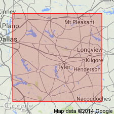
Upper contact revised. Rocks formerly assigned to the "Cotton Valley limestone" or to the "Haynesville limestone" are named, in the East Texas basin of TX, Gilmer Limestone, upper formation of Louark Group. Gilmer unconformably overlies Buckner Formation of Louark shelfward and Smackover Formation of Louark basinward. E-log cross section. Correlation chart. Areal extent map of Gilmer. Gilmer unconformably underlies Bossier Formation of Cotton Valley Group. Of Late Jurassic age. Louark in this report overlies Norphlet Formation and consists of (ascending) Smackover, Buckner, and Gilmer Formations; Smackover and Buckner intertongue; Buckner is the shelfward equivalent of the basinward Smackover.
Source: GNU records (USGS DDS-6; Denver GNULEX).
For more information, please contact Nancy Stamm, Geologic Names Committee Secretary.
Asterisk (*) indicates published by U.S. Geological Survey authors.
"No current usage" (†) implies that a name has been abandoned or has fallen into disuse. Former usage and, if known, replacement name given in parentheses ( ).
Slash (/) indicates name conflicts with nomenclatural guidelines (CSN, 1933; ACSN, 1961, 1970; NACSN, 1983, 2005, 2021). May be explained within brackets ([ ]).

