- Usage in publication:
-
- Louann Salt
- Modifications:
-
- Overview
- Dominant lithology:
-
- Evaporite
- AAPG geologic province:
-
- Mid-Gulf Coast basin
Summary:
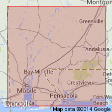
Louann Salt consists predominantly of silty, sandy, massive halite with intercalated anhydrite. Locally, the Pine Hill Anhydrite Member caps the Louann. Thickness varies considerably, ranging to 6,000 ft in the MS interior salt basin. Unit is absent along the crest of the Wiggins arch and on the Choctaw and Conecuh ridge complexes. Louann conformably overlies the Werner Formation or disconformably overlies the Eagle Mills Formation. Age is generally accepted to be Callovian to earliest Oxfordian based on palynomorphs.
Source: GNU records (USGS DDS-6; Reston GNULEX).
For more information, please contact Nancy Stamm, Geologic Names Committee Secretary.
Asterisk (*) indicates published by U.S. Geological Survey authors.
"No current usage" (†) implies that a name has been abandoned or has fallen into disuse. Former usage and, if known, replacement name given in parentheses ( ).
Slash (/) indicates name conflicts with nomenclatural guidelines (CSN, 1933; ACSN, 1961, 1970; NACSN, 1983, 2005, 2021). May be explained within brackets ([ ]).

