The National Geologic Map Database is migrating to a new infrastructure. We apologize for any service disruptions during this process.
|
|---|


- Usage in publication:
-
- Lost River chert
- Modifications:
-
- Named
- Dominant lithology:
-
- Limestone
- AAPG geologic province:
-
- Illinois basin
Summary:
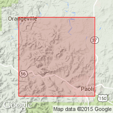
Named Lost River chert. Composed of chert, generally highly fossiliferous, very rich in bryozoans, and occasionally oolitic. Thickness 10 to 20 inches. Underlain by St. Louis limestone; overlain by Paoli limestone.
Source: GNU records (USGS DDS-6; Reston GNULEX).
- Usage in publication:
-
- Lost River Chert*
- Modifications:
-
- Overview
- AAPG geologic province:
-
- Illinois basin
Summary:
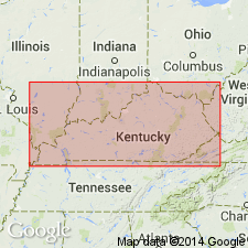
Lost River Chert Bed of Ste. Genevieve Limestone adopted for use by USGS in Kentucky and Indiana. Occurs some 20 to 50 ft above base of Ste. Genevieve. Severs as a marker bed useful for locating the base of the Ste. Genevieve in a karst terrain with thick residual soil.
Source: GNU records (USGS DDS-6; Reston GNULEX).
For more information, please contact Nancy Stamm, Geologic Names Committee Secretary.
Asterisk (*) indicates published by U.S. Geological Survey authors.
"No current usage" (†) implies that a name has been abandoned or has fallen into disuse. Former usage and, if known, replacement name given in parentheses ( ).
Slash (/) indicates name conflicts with nomenclatural guidelines (CSN, 1933; ACSN, 1961, 1970; NACSN, 1983, 2005, 2021). May be explained within brackets ([ ]).