- Usage in publication:
-
- Lost Mine Peak Rhyolite Member
- Lost Mine Peak Rhyolite Member
- Modifications:
-
- First used
- AAPG geologic province:
-
- Permian basin
Summary:
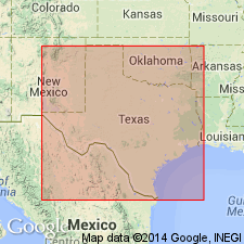
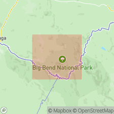
Pg. 24, road logs. Lost Mine Rhyolite Member, and Lost Mine Peak Rhyolite Member, of South Rim Formation. South Rim Formation (new) subdivided into (ascending) Wasp Spring Flow Breccia Member (new), Lost Mine Rhyolite Member, and Burro Mesa Riebeckite Rhyolite Member. In the Basin of Chisos Mountains, southwestern Texas, Lost Mine Peak Rhyolite Member forms caprock on Toll Peak and about two-thirds of the lower caprock on Casa Grande Peak; westward pinches out in eastern high slope of Emory Peak. Thickness about 800 feet at Casa Grande Peak. Age is Oligocene or younger.
Source: US geologic names lexicon (USGS Bull. 1350, p. 439-440).

- Usage in publication:
-
- Lost Mine Rhyolite Member
- Modifications:
-
- Named
- Dominant lithology:
-
- Rhyolite
- AAPG geologic province:
-
- Permian basin
Summary:
Pg. 140-141, pIs. Lost Mine Rhyolite Member of South Rim Formation. Formal proposal of name Lost Mine Lost Mine Rhyolite Member. Mostly a reddish rhyolite porphyry but parts are nonporphyritic, and some are glassy and have complex flow banding. Present outcrop pattern, thickness of the flow units, complexity of the flow structures, and distribution of the rocks suggest that source was in central Chisos Mountains but vent has not been found. Overlies Wasp Spring Flow Breccia Member and underlies Burro Mesa Riebeckite Rhyolite Member (both of South Rim). Age is Oligocene or younger.
Named from Lost Mine Peak whose top is capped by the lava that also occurs on Crown Mountain, the high mesa between the South Rim and Emory Peak, and on an unnamed peak about 2 mi southwest of Emory Peak, Big Bend National Park, Brewster Co., southwestern TX.
Source: US geologic names lexicon (USGS Bull. 1350, p. 439-440).

- Usage in publication:
-
- Lost Mine Member
- Modifications:
-
- Geochronologic dating
- AAPG geologic province:
-
- Permian basin
Summary:
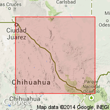
Pg. 25. Lost Mine Member of South Rim Formation. Samples from ash-flow tuff, lava dome, and trachyte dike, in The Basin quadrangle, Brewster County, southwestern Texas, yielded K-Ar ages from 33.3 +/-0.7 Ma to 32.7 +/-0.7 Ma (alkali feldspar). Data from D.S. Barker and others, 1986 (Univ. Texas-Austin Bur. Econ. Geol. Gdbk. 23), R.A. Maxwell and others, 1967 (Univ. Texas-Austin Pub. 6711, 320 p.), and D.S. Ogley, 1979 (Univ. Texas-Austin Bur. Econ. Geol. Gdbk. 19, p. 67-71); ages recalculated using decay constants of Steiger and Jager, 1977 (Earth Planet. Sci. Letters, v. 36, p. 359-362).
[Age considered Oligocene; Eocene-Oligocene boundary 36.6 (38-34) Ma (from Geologic Names Committee, USGS, 1983 ed. geol. time scale, with additions from N.J. Snelling, 1985, The Geol. Soc. Mem., no. 10).]
Source: Publication.
For more information, please contact Nancy Stamm, Geologic Names Committee Secretary.
Asterisk (*) indicates published by U.S. Geological Survey authors.
"No current usage" (†) implies that a name has been abandoned or has fallen into disuse. Former usage and, if known, replacement name given in parentheses ( ).
Slash (/) indicates name conflicts with nomenclatural guidelines (CSN, 1933; ACSN, 1961, 1970; NACSN, 1983, 2005, 2021). May be explained within brackets ([ ]).

