- Usage in publication:
-
- Lookout schist
- Modifications:
-
- Named
- Dominant lithology:
-
- Schist
- AAPG geologic province:
-
- Northern Rocky Mountain region
Summary:
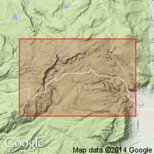
No type locality designated. Best exposed in cirques at extreme head of Libby Creek and on southeast shore of Lookout Lake, Albany Co, WY, T16N, R79W, in the Northern Rocky Mountain region. Defined by conformable contacts with a massive metaquartzite below (Medicine Peak metaquartzite, a new unit) and another metaquartzite above (Sugarloaf metaquartzite, a new unit). Is a finely laminated, greenish-gray quartz-sericite-chlorite schist containing a small amount of biotite. Has been strongly mashed. Thickness estimated as about 1,200 ft. Is of pre-Cambrian age, probably early Algonkian or Proterozoic.
Source: GNU records (USGS DDS-6; Denver GNULEX).

- Usage in publication:
-
- Lookout Schist
- Modifications:
-
- Revised
- Overview
- AAPG geologic province:
-
- Northern Rocky Mountain region
Summary:
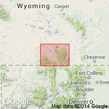
Revised in that Lookout Schist (1 of 6 formations) assigned to the lower part of the Libby Creek Group of the Snowy Pass Supergroup (first used) in the Medicine Bow Mountains of south-central WY in the Northern Rocky Mountain region. Lies conformably between the Medicine Peak and Sugarloaf Quartzites of the lower part of the Libby Creek. Is a 400 m thick unit of laminated phyllite, and subarkosic, arkosic, and argillaceous quartzite. Some of the phyllite laminae are contorted. Some of the quartzites are cross-bedded. Has graded and contorted bedding. Deposited probably in a delta or prodelta environment. Geologic map; stratigraphic chart. Of Proterozoic age.
Source: GNU records (USGS DDS-6; Denver GNULEX).

- Usage in publication:
-
- Lookout Schist*
- Modifications:
-
- Overview
- AAPG geologic province:
-
- Northern Rocky Mountain region
Summary:
Assigned as one of six formations to the lower part of the Libby Creek Group of the newly defined Snowy Pass Supergroup in the Medicine Bow Mountains, WY in the Northern Rocky Mountain region. Overlies Medicine Peak Quartzite of Libby Creek Group. Underlies Sugarloaf Quartzite of Libby Creek. Contact with Sugarloaf is a fault. Is 0-400 m thick. Correlates with the middle part of the Copperton Formation (formerly Copperton Quartzite) of Snowy Pass Group of the Sierra Madre. Geologic map; correlation chart. Of Early Proterozoic age.
Source: GNU records (USGS DDS-6; Denver GNULEX).
For more information, please contact Nancy Stamm, Geologic Names Committee Secretary.
Asterisk (*) indicates published by U.S. Geological Survey authors.
"No current usage" (†) implies that a name has been abandoned or has fallen into disuse. Former usage and, if known, replacement name given in parentheses ( ).
Slash (/) indicates name conflicts with nomenclatural guidelines (CSN, 1933; ACSN, 1961, 1970; NACSN, 1983, 2005, 2021). May be explained within brackets ([ ]).

