The National Geologic Map Database is migrating to a new infrastructure. We apologize for any service disruptions during this process.
|
|---|


- Usage in publication:
-
- Lonesome Pine Formation
- Modifications:
-
- Named
- Dominant lithology:
-
- Limestone
- Shale
- Chert
- AAPG geologic province:
-
- Appalachian basin
Summary:
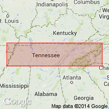
The Lonesome Pine Formation is here named in the area southeast of the Clinchport thrust fault in Hancock and Hawkins Cos., TN. It consists of pink and gray, fossiliferous limestone, including mound structures of reef origin, calcareous shale, and chert. Divided into informal lower and upper members. Unconformably overlies the Elway Limestone; gradationally underlies the Luther Formation. Thickness is 170 m (565 ft) at type section. Age is Middle Ordovician.
Source: GNU records (USGS DDS-6; Reston GNULEX).
For more information, please contact Nancy Stamm, Geologic Names Committee Secretary.
Asterisk (*) indicates published by U.S. Geological Survey authors.
"No current usage" (†) implies that a name has been abandoned or has fallen into disuse. Former usage and, if known, replacement name given in parentheses ( ).
Slash (/) indicates name conflicts with nomenclatural guidelines (CSN, 1933; ACSN, 1961, 1970; NACSN, 1983, 2005, 2021). May be explained within brackets ([ ]).