

- Usage in publication:
-
- Lone Rock Formation
- Modifications:
-
- Named
- Dominant lithology:
-
- Sand
- Shale
- Sandstone
- AAPG geologic province:
-
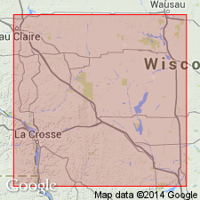
- Wisconsin arch
Summary:
Upper Cambrian Green sands, shales, and shaly sandstones above Wonewoc Formation (new name) and below St. Lawrence Formation in southwestern WI are grouped together as single formation and assigned name Lone Rock. Occurs above Mazomanie (herein given formation rank). In some areas the Mazomanie occurs as a wedge in Lone Rock Formation. Lone Rock includes (ascending) Birkmose, Tomah, and Reno Members.
Source: GNU records (USGS DDS-6; Reston GNULEX).
- Usage in publication:
-
- Lone Rock Member
- Modifications:
-
- Revised
- AAPG geologic province:
-
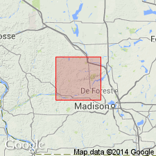
- Wisconsin arch
Summary:
Tunney City is here treated as a Formation rather than a Group as its subdivisions could not be successfully mapped. It is typically 30 to 45 m thick in Sauk Co. and consists predominantly of sandstone and fine to very fine sand. Lone Rock Member (rank reduced) makes up all of the Tunnel City Formation in southwestern and southeastern WI. The Mazomanie Member (rank reduced) is a wedge in the middle of the Lone Rock in a large portion of south-central WI, but along the crest of the Wisconsin arch, makes up most of the formation. The Lone Rock Member contains a few percent to a few tens of percent glauconite and is olive to light olive gray; the Mazomanie Member contains only a trace of glauconite and is commonly pale brown when fresh.
Source: GNU records (USGS DDS-6; Reston GNULEX).
For more information, please contact Nancy Stamm, Geologic Names Committee Secretary.
Asterisk (*) indicates published by U.S. Geological Survey authors.
"No current usage" (†) implies that a name has been abandoned or has fallen into disuse. Former usage and, if known, replacement name given in parentheses ( ).
Slash (/) indicates name conflicts with nomenclatural guidelines (CSN, 1933; ACSN, 1961, 1970; NACSN, 1983, 2005, 2021). May be explained within brackets ([ ]).