

- Usage in publication:
-
- Londonbridge formation
- Modifications:
-
- Named
- Dominant lithology:
-
- Sand
- Clay
- AAPG geologic province:
-
- Atlantic Coast basin
Summary:
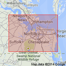
Londonbridge Formation named in this report in northeastern Princess Anne Co., VA. Consists of dune sand and beach sand with shells in east and lagoon clay in west. Maximum thickness 35 ft. Overlies Kempsville Formation (new) and underlies Sandbridge [Sand Bridge] Formation (new). Age is late Pleistocene.
Source: GNU records (USGS DDS-6; Reston GNULEX).
- Usage in publication:
-
- Londonbridge Member
- Modifications:
-
- Revised
- AAPG geologic province:
-
- Atlantic Coast basin
Summary:
Sand Bridge (top) and Londonbridge Formations reduced to Members of Powells Crossroads Formation, named in this report in Virginia Beach area. The silty clays of Londonbridge represent marsh and estuarine deposits of a warm transgressing sea. Age is late Pleistocene.
Source: GNU records (USGS DDS-6; Reston GNULEX).
For more information, please contact Nancy Stamm, Geologic Names Committee Secretary.
Asterisk (*) indicates published by U.S. Geological Survey authors.
"No current usage" (†) implies that a name has been abandoned or has fallen into disuse. Former usage and, if known, replacement name given in parentheses ( ).
Slash (/) indicates name conflicts with nomenclatural guidelines (CSN, 1933; ACSN, 1961, 1970; NACSN, 1983, 2005, 2021). May be explained within brackets ([ ]).