- Usage in publication:
-
- Las Posas zone
- Modifications:
-
- Original reference
- AAPG geologic province:
-
- Los Angeles basin
Summary:
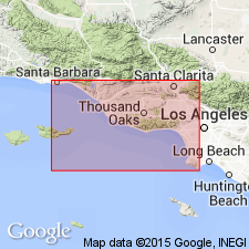
Pg. 42-43, 61. Las Posas zone in Los Angeles basin is most characteristically exposed at Lomitas quarry and in Hilltop quarry, San Pedro Hills, southern California. It unconformably underlies Timms Point zone (=Deadman Island "Pliocene" of reports) and overlies Santa Barbara zone. Correlation with Las Posas of Ventura basin practically certain. Age is Pleistocene.
Source: US geologic names lexicon (USGS Bull. 896, p. 1209).
- Usage in publication:
-
- Lomita formation
- Modifications:
-
- Areal extent
Reed, R.D., 1933, Geology of California: American Association of Petroleum Geologists, 318 p.
Summary:
Pg. 259, 260, 261, 264, 303, 304. Lomita formation. Marine deposits. To south in San Pedro Hills the calcareous Lomita underlies Timms Point formation and overlies lower Pliocene; to north, at San Pedro, the sandy Lomita underlies San Pedro sandstone and overlies lower Pliocene Repetto formation. The two facies are fairly well separated by a small anticline. Fossiliferous. Assigned to Pleistocene.
Source: US geologic names lexicon (USGS Bull. 896, p. 1209).
- Usage in publication:
-
- Lomita formation
- Modifications:
-
- Biostratigraphic dating
- AAPG geologic province:
-
- Los Angeles basin
Summary:
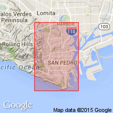
Pg. 73-74. Lomita formation. 0 to 300 feet thick, underlies Timms Point formation (both marine Pleistocene) at San Pedro. Fossils listed.
Source: US geologic names lexicon (USGS Bull. 896, p. 1209).
- Usage in publication:
-
- Lomita marl formation
- Modifications:
-
- Principal reference
- AAPG geologic province:
-
- Los Angeles basin
Summary:
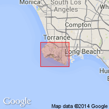
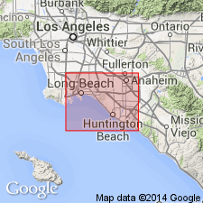
Pg. 42-53, pls. 1, 13, 14. Described as Lomita marl formation. Occurs at base of lower Pleistocene deposits. In San Pedro where units are superimposed, the sequence is (ascending) Lomita marl, Timms Point silt, and San Pedro sand. Maximum exposed thickness 60 to 70 feet; computed thickness in San Pedro about 100 feet. Type region designated.
Type region: near Lomita quarry, in western part of Gaffey syncline, Los Angeles Co., south-central CA.
Source: US geologic names lexicon (USGS Bull. 1200, p. 2220).
- Usage in publication:
-
- Lomita marl member*
- Modifications:
-
- Revised
- AAPG geologic province:
-
- Los Angeles basin
Summary:
Pg. 38 (table), 61, pl. 3. Lomita marl member of San Pedro formation. Rank reduced to member of San Pedro formation. [Age is early Pleistocene.]
Source: Publication; US geologic names lexicon (USGS Bull. 1200, p. 2220).
- Usage in publication:
-
- Lomita Marl
- Modifications:
-
- Age modified
- Biostratigraphic dating
- AAPG geologic province:
-
- Los Angeles basin
Summary:
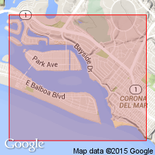
Pg. 123. Lomita Marl. Age changed from early Pleistocene --to-- late Pliocene. Present in Newport Lagoon area, Orange County, southern California.
Source: GNC index card files (USGS-Menlo).
For more information, please contact Nancy Stamm, Geologic Names Committee Secretary.
Asterisk (*) indicates published by U.S. Geological Survey authors.
"No current usage" (†) implies that a name has been abandoned or has fallen into disuse. Former usage and, if known, replacement name given in parentheses ( ).
Slash (/) indicates name conflicts with nomenclatural guidelines (CSN, 1933; ACSN, 1961, 1970; NACSN, 1983, 2005, 2021). May be explained within brackets ([ ]).

