- Usage in publication:
-
- Lohn bed
- Modifications:
-
- Original reference
- Dominant lithology:
-
- Clay
- Shale
- Sandstone
- Limestone
- AAPG geologic province:
-
- Llano uplift
Summary:
Pg. 387, 408. Lohn bed in Cisco division. Fossilfierous, bluish, red, yellowish, and purple clay, with some shaly clay, shale, sandstone, and limestone, and the Chaffin coal. Thickness 20 to 75 feet. Member of Cisco division [Cisco is 2nd from top of 5 Carboniferous divisions of Cummins, 1891]. Underlies Parks Mountain bed and overlies Speck Mountain limestone. Age is Pennsylvanian.
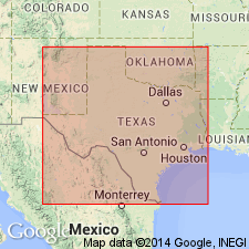
Named from its good development near Lohn, a post office on the Waldrip-Brady road, 8 to 9 mi from Waldrip, McCulloch Co., Colorado River region, central TX.
Source: Publication; US geologic names lexicon (USGS Bull. 896, p. 1208-1209).
For more information, please contact Nancy Stamm, Geologic Names Committee Secretary.
Asterisk (*) indicates published by U.S. Geological Survey authors.
"No current usage" (†) implies that a name has been abandoned or has fallen into disuse. Former usage and, if known, replacement name given in parentheses ( ).
Slash (/) indicates name conflicts with nomenclatural guidelines (CSN, 1933; ACSN, 1961, 1970; NACSN, 1983, 2005, 2021). May be explained within brackets ([ ]).

