

- Usage in publication:
-
- Lloyd sand*
- Modifications:
-
- Named
- Dominant lithology:
-
- Sand
- Gravel
- Clay
- AAPG geologic province:
-
- Atlantic Coast basin
Summary:
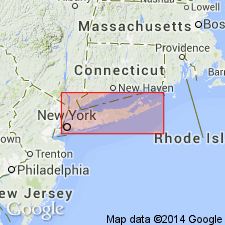
Named Lloyd sand introduced in this report for yellow to white quartz sand and gravel, with occasional layers of clay that occurs in a deep well at Lloyd Point, on Long Island. Unit contains much decayed white chert and in one place marine fossils. Thickness 80 to 90 ft. Underlies varicolored clay 0 to 500 ft thick and overlies 0 to approximately 200 ft of clay. Extends into NJ where it is an horizon in Raritan formation about 200 ft below top.
Source: GNU records (USGS DDS-6; Reston GNULEX).
For more information, please contact Nancy Stamm, Geologic Names Committee Secretary.
Asterisk (*) indicates published by U.S. Geological Survey authors.
"No current usage" (†) implies that a name has been abandoned or has fallen into disuse. Former usage and, if known, replacement name given in parentheses ( ).
Slash (/) indicates name conflicts with nomenclatural guidelines (CSN, 1933; ACSN, 1961, 1970; NACSN, 1983, 2005, 2021). May be explained within brackets ([ ]).