

- Usage in publication:
-
- Little Valley Alloformation
- Modifications:
-
- Named
- Dominant lithology:
-
- Gravel
- Loess
- AAPG geologic province:
-
- Great Basin province
Summary:
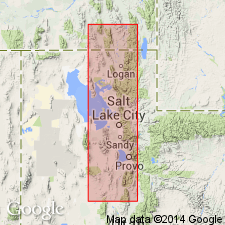
Name applied to one of the four Pleistocene lake cycle deposits differentiated in this report in the Bonneville basin. Correlation of deposits in basin based on isoleucine epimerization in carbonate fossils and radiocarbon ages. Next older deposit is the newly named Pokes Point Alloformation. The fourth and youngest deposit redesignated Bonneville Alloformation. Type section is exposure in north wall of large gravel pit in Little Valley (source of name), SE1/4 NE1/4 sec 1, T6N, R6W, Box Elder Co, UT in the Great Basin province. Consists at type of lacustrine bar gravel overlain by loess and colluvium bearing the well developed Promontory Geosol. The highest elevation at which lacustrine deposits of Little Valley age have been recognized is 1,525 m a s l. Their pre-Bonneville age confirmed by the well developed soil separating them from the Bonneville. Amino acid analyses. Graphic sections.
Source: GNU records (USGS DDS-6; Denver GNULEX).
- Usage in publication:
-
- Little Valley Alloformation
- Modifications:
-
- Revised
- AAPG geologic province:
-
- Great Basin province
Summary:
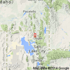
A newly recognized lacustrine and marginal-lacustrine mud and sand named Cutler Dam Alloformation for exposures along the Bear River in Box Elder Co, UT in the Great Basin province. The lacustrine unit is also a newly recognized Pleistocene lake cycle. The new unit is younger than the Pleistocene Little Valley Alloformation and is separated from the younger Pleistocene Bonneville Alloformation by the Fielding Geosol (new). Cross section.
Source: GNU records (USGS DDS-6; Denver GNULEX).
- Usage in publication:
-
- Little Valley Alloformation*
- Modifications:
-
- Overview
- AAPG geologic province:
-
- Wasatch uplift
Summary:
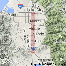
Identified by position below Promontory Geosol and by ratio of alloisoleucine to isoleucine in fossil gastropod shells. Shells in Little Valley have an average aIle/Ile ratio of 0.43 +/-0.05 for all samples. Consists mostly of northeast to east dipping well-sorted gravel, sand, and minor marly silt and fine sand. Northeast dip indicates shoreward-dipping deposits of a bar or spit whose lakeward position was eroded during lake stands at or near the Provo shoreline. Age based on 1) degree of development of Promontory Soil as about 120 ka, 2) shells that have 230 Th age of 93 +/-10 ka and greater than 105 ka, and 3) placement late in a major glaciation, probably the Bull Lake. This study discusses exposures in the Geneva quarry, Point of Mountain area, west end of eastern Traverse Mountains between Salt Lake and Utah valleys, UT on the Wasatch uplift. Is separated from the Bonneville Alloformation by the Promontory Geosol. Cross section.
Source: GNU records (USGS DDS-6; Denver GNULEX).
For more information, please contact Nancy Stamm, Geologic Names Committee Secretary.
Asterisk (*) indicates published by U.S. Geological Survey authors.
"No current usage" (†) implies that a name has been abandoned or has fallen into disuse. Former usage and, if known, replacement name given in parentheses ( ).
Slash (/) indicates name conflicts with nomenclatural guidelines (CSN, 1933; ACSN, 1961, 1970; NACSN, 1983, 2005, 2021). May be explained within brackets ([ ]).