- Usage in publication:
-
- Little Valley Formation
- Modifications:
-
- Overview
- Dominant lithology:
-
- Shale
- Sandstone
- AAPG geologic province:
-
- Sacramento basin
Summary:
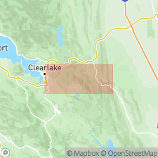
Named by J.E. Lawton in PhD thesis (1956, Dissertation Abstracts v.16 no.10 p.1885) for rocks in Morgan-Wilbur area, Lake, Yolo, and Colusa Cos, CA. Divided into lower Leesville Member and upper Round Mountain Member. Consists of predominantly shale and sandstone. Total thickness of members is about 6000 ft. Conformably overlies Crack Canyon Formation of Lawton (1956) and conformably underlies Davis Canyon Formation of Lawton (1956). Age given as Early Cretaceous.
Source: GNU records (USGS DDS-6; Menlo GNULEX).
For more information, please contact Nancy Stamm, Geologic Names Committee Secretary.
Asterisk (*) indicates published by U.S. Geological Survey authors.
"No current usage" (†) implies that a name has been abandoned or has fallen into disuse. Former usage and, if known, replacement name given in parentheses ( ).
Slash (/) indicates name conflicts with nomenclatural guidelines (CSN, 1933; ACSN, 1961, 1970; NACSN, 1983, 2005, 2021). May be explained within brackets ([ ]).

