The National Geologic Map Database is migrating to a new infrastructure. We apologize for any service disruptions during this process.
|
|---|


- Usage in publication:
-
- Little Muddy Creek conglomerate*
- Modifications:
-
- Biostratigraphic dating
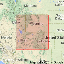
- AAPG geologic province:
-
- Green River basin
Summary:
An informal name mapped by Veatch (1907) and Walker (1950). Considered to be a syntectonic deposit that resulted from early movement on the Absaroka fault. Has some pollen types that also occur in the Bear River Formation. CHATANGIELLA Interval zone (marine) and PROTEACIDITES RETUSUS Interval Zone (nonmarine) contemporaneous palynomorph biozones. Assigned a Cenomanian age. Samples collected in Lincoln Co, WY in the Greater Green River basin.
Source: GNU records (USGS DDS-6; Denver GNULEX).
For more information, please contact Nancy Stamm, Geologic Names Committee Secretary.
Asterisk (*) indicates published by U.S. Geological Survey authors.
"No current usage" (†) implies that a name has been abandoned or has fallen into disuse. Former usage and, if known, replacement name given in parentheses ( ).
Slash (/) indicates name conflicts with nomenclatural guidelines (CSN, 1933; ACSN, 1961, 1970; NACSN, 1983, 2005, 2021). May be explained within brackets ([ ]).