

- Usage in publication:
-
- Little Mountain member
- Modifications:
-
- First used
- Dominant lithology:
-
- Sandstone
- AAPG geologic province:
-
- Appalachian basin
Summary:
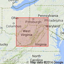
Basal 30 m of Myers Shale in Meadow Branch synclinorium here informally named Little Mountain member for excellent exposures at Little Mountain in Berkley Co., WV. Described only as yellow-buff sandstone. Overlies Early Mississippian Hedges Shale. Unknown beyond study area. Age is Late Mississippian (Meramecian).
Source: GNU records (USGS DDS-6; Reston GNULEX).
For more information, please contact Nancy Stamm, Geologic Names Committee Secretary.
Asterisk (*) indicates published by U.S. Geological Survey authors.
"No current usage" (†) implies that a name has been abandoned or has fallen into disuse. Former usage and, if known, replacement name given in parentheses ( ).
Slash (/) indicates name conflicts with nomenclatural guidelines (CSN, 1933; ACSN, 1961, 1970; NACSN, 1983, 2005, 2021). May be explained within brackets ([ ]).