The National Geologic Map Database is migrating to a new infrastructure. We apologize for any service disruptions during this process.
|
|---|


- Usage in publication:
-
- Little Butte volcanic series*
- Modifications:
-
- Named
- Dominant lithology:
-
- Volcaniclastics
- Tuff
- AAPG geologic province:
-
- Cascades province
Summary:
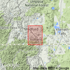
Unit is named for volcanic rocks in valley of Little Butte Creek, Jackson Co., Medford 30' quad, southwest OR and northwest CA. Consists of lower sequence of mostly flows, flow breccias, and coarse agglomerates and upper sequence (about 1100 ft thick) of fine-grained siliceous tuffs. Total thickness is about 3000 ft. Unconformably overlies the Colestin formation (new); unconformably underlies the Heppsie andesite (new). Name of lower sequence is the Roxy formation (new); upper sequence, the Wasson formation (new). Geologic map shows age of series as Oligocene(?) based on included "Bridge Creek" type flora.
Source: GNU records (USGS DDS-6; Menlo GNULEX).
- Usage in publication:
-
- Little Butte Volcanic Series*
- Modifications:
-
- Revised
- Age modified
- Areal extent
- Overview
- AAPG geologic province:
-
- Cascades province
Summary:
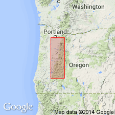
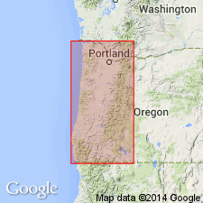
Little Butte Volcanic Series mapped in sections of western Cascades with distinctive lithologies shown separately. Is 6,000 to 15,000 feet thick in drainage basin of the North Umpqua River. Is 8,000 feet thick in drainage basin of the Middle and Coast Forks of the Willamette River and the McKenzie River. Series includes in addition to the Roxy and Wasson Formations of Wells and others (1956) [? F.G. Wells, 1956, USGS Geol. Quad. Map GQ-89], Mehama Volcanics and Breitenbush series of Thayer (1939, Oregon Dept. Geol. and Min. Ind. Bull., no. 15, p. 9-10, fig. 1 (geol. map)) [1936, Jour. Geol., v. 44, no. 6, p. 704, 705, 709 (fig. 2), 713 (fig. 3)] in the North Santiam River basin, Molalla Formation and pre-Butte Creek Lavas of Harper (1946, Oregon State Univ., unpub. MS thesis, 26 p.) south of Molalla, and Eagle Creek Formation and Bull Creek Beds of Barnes and Butler (1930) in upper Clackamas River basin. The Little Butte unconformably underlies the Sardine Formation or Columbia River Basalt and unconformably overlies the Colestin Formation. Age ranges from early or middle Oligocene to early Miocene, based on fossil plants.
Source: Modified from GNU records (USGS DDS-6; Menlo GNULEX).
- Usage in publication:
-
- Little Butte Volcanics
- Little Butte Volcanic Series
- Modifications:
-
- Revised
- AAPG geologic province:
-
- Cascades province
Summary:
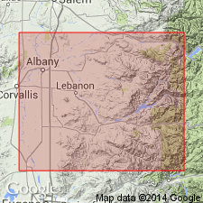
Pg. 26. Little Butte Volcanics includes the Mehama Volcanics, Wasson Formation, and Heppsie Andesite and makes up bulk of the Western Cascades south of McKenzie River. To north unit includes lower part of the Breitenbush series (T.P. Thayer, 1939, Oregon Dept. Geol. and Min. Ind. Bull., no. 15, p. 9-10, fig. 1 (geol. map)) [1936, Jour. Geol., v. 44, no. 6, p. 704, 705, 709 (fig. 2), 713 (fig. 3)], pre-Butte Creek beds (H.E. Harper, 1946, Oregon State Univ., unpub. MS thesis, 26 p.), Eagle Creek Formation, and "Bull Creek beds." The Molalla Formation is included by Peck and others (1964, USGS Prof. Paper 449).
Source: Modified from GNU records (USGS DDS-6; Menlo GNULEX).
- Usage in publication:
-
- Little Butte Formation
- Modifications:
-
- Revised
- Redescribed
- Dominant lithology:
-
- Volcanics
- Sandstone
- AAPG geologic province:
-
- Cascades province
Summary:
Little Butte Volcanic Series of Peck and others (1964) is renamed the Little Butte Formation and extended to include in western Linn Co., OR, the Mehama volcanics of Thayer (1939) and "Berlin volcanics" of Felts (1936, unpub thesis [abandoned by Allison and Felts, 1956]. As mapped unit includes interbeds of marine sandstone equivalent to the Eugene Formation of Smith (1924). Also includes terrain mapped as the Sardine Formation by Peck and others (1964) along ridge crests overlooking the Calapooia River and surrounding Green Peter Mountain. Age is early Oligocene through early Miocene age on basis of stratigraphic position and fossil leaves by Peck and others (1964). Fossil leaves are middle Oligocene at Knox Butte, late Oligocene to early Miocene at Franklin Butte (Scio flora of Sanborn, 1947). Molluscan fossils recovered from marine interbeds indicate middle Oligocene age at Peterson Butte and Oligocene age at juncture of South and North Santiam Rivers.
Source: GNU records (USGS DDS-6; Menlo GNULEX).
- Usage in publication:
-
- Little Butte Formation
- Modifications:
-
- Geochronologic dating
- AAPG geologic province:
-
- Cascades province
Summary:
Isotopic (K-Ar; whole rock) age determinations for the Little Butte Formation are 28.75 +/-0.34 Ma and 24.22 +/-0.27 Ma (both andesite) and 21.34 +/-0.55 Ma (gabbro).
Source: GNU records (USGS DDS-6; Menlo GNULEX).
- Usage in publication:
-
- Little Butte Volcanics*
- Modifications:
-
- Revised
- AAPG geologic province:
-
- Cascades province
Summary:
Little Butte Volcanic Series is revised to Little Butte Volcanics in accordance with the NACSN (1983) Article 3.
Source: GNU records (USGS DDS-6; Menlo GNULEX).
For more information, please contact Nancy Stamm, Geologic Names Committee Secretary.
Asterisk (*) indicates published by U.S. Geological Survey authors.
"No current usage" (†) implies that a name has been abandoned or has fallen into disuse. Former usage and, if known, replacement name given in parentheses ( ).
Slash (/) indicates name conflicts with nomenclatural guidelines (CSN, 1933; ACSN, 1961, 1970; NACSN, 1983, 2005, 2021). May be explained within brackets ([ ]).