- Usage in publication:
-
- Little Bear formation, residuum
- Modifications:
-
- Named
- Dominant lithology:
-
- Clay
- AAPG geologic province:
-
- Black Warrior basin
Mellen, F.F., 1937, The Little Bear Residuum: Mississippi Geological Survey Bulletin, no. 34, 36 p.
Summary:
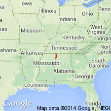
Little Bear formation or residuum [terms are used interchangeably] named for material that originated in situ from decomposition of Paleozoic strata. Outcrops are subjacent to Tuscaloosa formation and extend from KY to west-central AL, and perhaps extend to central and eastern AL and western GA, if not farther. Deposits vary in character depending on nature of original material. At section located five miles northeast of Iuka in SE1/4 sec. 34, T2S, R11E, along road leading down to old Fishtrap Ford, Little Bear consists of red, white, brown, and mottled clay with a few streaks of small colluvial chert pebbles near the top. There, it overlies Iuka formation and underlies a covered interval of gravel, sand, and clay that possibly includes all of Tuscaloosa formation and a small part of Little Bear. Age is Early Cretaceous (Comanchean) based on the theory that the formation stopped forming and was overlain during the Early Cretaceous; unit probably began forming at he beginning of the Mesozoic and maybe as early as late Paleozoic. Report includes stratigraphic section and correlation charts.
Source: GNU records (USGS DDS-6; Reston GNULEX).

- Usage in publication:
-
- Little Bear Formation*
- Modifications:
-
- Revised
- AAPG geologic province:
-
- Upper Mississippi embayment
- Illinois basin
Summary:
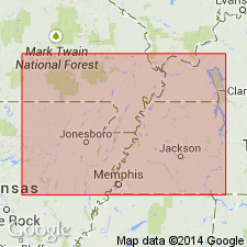
Little Bear Formation underlies newly named Post Creek Formation in Benton Hills core, Pulaski Co., southern IL. Described as a Mesozoic soil horizon formed over Paleozoic bedrock (Joachim Dolomite in core).
Source: GNU records (USGS DDS-6; Reston GNULEX).

- Usage in publication:
-
- Little Bear Formation*
- Modifications:
-
- Overview
- Areal extent
- Age modified
- AAPG geologic province:
-
- Upper Mississippi embayment
Summary:
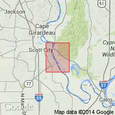
Little Bear Formation mapped undivided with Owl Creek Formation, McNairy Sand, and Coffee Sand in MO and IL. Consists of a rubble zone of convoluted and variegated clays mixed with heterolithic, angular chert fragments and sand. Pods of pyrite and iron oxides are common. Occurs as isolated erosional remnants. Age is changed to Early Cretaceous(?) because, although Mellen (1937) concluded an Early Cretaceous (Comanchean) age for most of the unit, he noted that regolith-forming processes probably operated throughout the Mesozoic.
Source: GNU records (USGS DDS-6; Reston GNULEX).
For more information, please contact Nancy Stamm, Geologic Names Committee Secretary.
Asterisk (*) indicates published by U.S. Geological Survey authors.
"No current usage" (†) implies that a name has been abandoned or has fallen into disuse. Former usage and, if known, replacement name given in parentheses ( ).
Slash (/) indicates name conflicts with nomenclatural guidelines (CSN, 1933; ACSN, 1961, 1970; NACSN, 1983, 2005, 2021). May be explained within brackets ([ ]).

