- Usage in publication:
-
- Litchfield coal member
- Modifications:
-
- Principal reference
- Dominant lithology:
-
- Coal
- AAPG geologic province:
-
- Illinois basin
Summary:
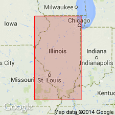
Pg. 33, 45 (table 1), pl. 1. Litchfield coal member of Spoon formation (new) of Kewanee group (new). Assigned member status in Spoon formation. Present in lower part of formation. Coal named by Kay (Illinois Geol. Survey Min. Inv., no. 11, 1915). Age is Pennsylvanian. Presentation of new rock-stratigraphic classification of Pennsylvanian strata in Illinois.
Type locality: mine [just northeast of village of Litchfield], in SE/4 NE/4 NE/4 sec. 32, T. 9 N., R. 5 W., Mount Olive 15-min quadrangle, Montgomery Co., southwestern IL. Recognized only in vicinity of mines near Litchfield.
Source: Publication; US geologic names lexicon (USGS Bull. 1200, p. 2183-2184).
For more information, please contact Nancy Stamm, Geologic Names Committee Secretary.
Asterisk (*) indicates published by U.S. Geological Survey authors.
"No current usage" (†) implies that a name has been abandoned or has fallen into disuse. Former usage and, if known, replacement name given in parentheses ( ).
Slash (/) indicates name conflicts with nomenclatural guidelines (CSN, 1933; ACSN, 1961, 1970; NACSN, 1983, 2005, 2021). May be explained within brackets ([ ]).

