


- Usage in publication:
-
- Lisburne formation
- Modifications:
-
- Named
- Biostratigraphic dating
- Dominant lithology:
-
- Limestone
- Shale
- AAPG geologic province:
-
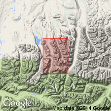
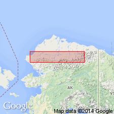
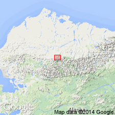
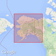
- Alaska Northern region
Summary:
[Named for Cape Lisburne, northwestern AK.] Consists of medium-bedded limestone with some shale, 3000 ft thick. Rests, apparently conformably, on Stuver series (new). Assigned to Devonian, tentatively, on basis of fossils in surface fragments near top of mountains formed by Lisburne. List of Late Devonian fossils identified by Mr. Schuchert included in report.
Source: GNU records (USGS DDS-6; Menlo GNULEX).
- Usage in publication:
-
- Lisburne group*
- Modifications:
-
- Revised
- Age modified
- Biostratigraphic dating
- AAPG geologic province:
-
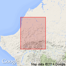
- Alaska Northern region
Summary:
Lisburne limestone of Schrader (1902) raised in rank to group. In Shainin Lake area, central Brooks Range divided into (ascending): Wachsmuth limestone (of Early Mississippian age) and Alapah limestone (of Late Mississippian age). Age of Lisburne is Early and Late Mississippian based on megafossils.
Source: GNU records (USGS DDS-6; Menlo GNULEX).
- Usage in publication:
-
- Lisburne group*
- Modifications:
-
- Revised
- AAPG geologic province:
-
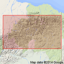
- Alaska Northern region
Summary:
Lisburne group in central and western DeLong Mountains is divided into (oldest to youngest): Utukok (Early Mississippian), Kogruk (Early and Late Mississippian), and Tupik (Late Mississippian) formations (all new).
Source: GNU records (USGS DDS-6; Menlo GNULEX).
- Usage in publication:
-
- Lisburne Group*
- Modifications:
-
- Revised
- Age modified
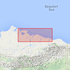
- Areal extent
- AAPG geologic province:
-
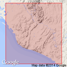
- Alaska Northern region
Summary:
In eastern Brooks Range, group includes (ascending): Wachsmuth Limestone (early Mississippian), Alapah Limestone (Late Mississippian), and Wahoo Limestone (new) (Pennsylvanian(?) and Permian age). Unconformably underlies Siksikpuk Formation at Galbraith Lake. East of Galbraith Lake, underlies Sadlerochit Formation. Disconformably overlies Kayak Shale.
Source: GNU records (USGS DDS-6; Menlo GNULEX).
- Usage in publication:
-
- Lisburne Group*
- Modifications:
-
- Revised
- AAPG geologic province:
-
- Alaska Northern region
Summary:
On southwest side of Lisburne Peninsula rocks of Lisburne Group designated as (ascending): Nasorak Formation of Campbell (1965), Kogruk(?) Formation of Sable and Dutro (1961), and Tupik Formation of Sable and Dutro (1961) because of lithic similarity to type units (all formations in Lisburne Group). Nasorak Formation of Early and Late Mississippian age has newly named member, Cape Thompson Member. Kogruk(?) Formation in Lisburne Peninsula area is Late Mississippian age. Tupik Formation is Late Mississippian age also.
Source: GNU records (USGS DDS-6; Menlo GNULEX).
- Usage in publication:
-
- Lisburne Group*
- Modifications:
-
- Revised
- Biostratigraphic dating
- AAPG geologic province:
-
- Alaska Northern region
Summary:
In central and western Brooks Range, Kuna Formation (new) is assigned to Lisburne Group. In Endicott Mountains Kuna Formation intertongues with Wachsmuth and Alapah Limestones of Lisburne Group. Age of Kuna is Early Mississippian to Early or Middle Pennsylvanian based on paleontologic evidence.
Source: GNU records (USGS DDS-6; Menlo GNULEX).
- Usage in publication:
-
- Lisburne Group
- Modifications:
-
- Revised
- AAPG geologic province:
-
- Alaska Northern region
Summary:
Includes newly named formation, Akmalik Chert, in Picnic Creek allochthon in Kurupa Hills and in Imnaitchiak and Akmalik Creek areas, Killik River quad, northern AK.
Source: GNU records (USGS DDS-6; Menlo GNULEX).
- Usage in publication:
-
- Lisburne Group*
- Modifications:
-
- Age modified
- Biostratigraphic dating
- AAPG geologic province:
-
- Alaska Northern region
Summary:
Overall unit age is Early Mississippian to Early Permian based on Nodosariid foraminifers from wells (South Harrison Bay 1, Inigok 1, Ikpikpuk 1, Kugrua 1, and Tunalik 1) penetrating undivided part of the group in northeastern part of National Petroleum Reserve of Alaska.
Source: GNU records (USGS DDS-6; Menlo GNULEX).
- Usage in publication:
-
- Lisburne Group*
- Modifications:
-
- Revised
- AAPG geologic province:
-
- Alaska Northern region
Summary:
Lisburne Group revised to adopt and include Akmalik Chert of Mull and others (1987). [Age remains Early and Late Mississippian, Pennsylvanian and Early Permian].
Source: GNU records (USGS DDS-6; Menlo GNULEX).
For more information, please contact Nancy Stamm, Geologic Names Committee Secretary.
Asterisk (*) indicates published by U.S. Geological Survey authors.
"No current usage" (†) implies that a name has been abandoned or has fallen into disuse. Former usage and, if known, replacement name given in parentheses ( ).
Slash (/) indicates name conflicts with nomenclatural guidelines (CSN, 1933; ACSN, 1961, 1970; NACSN, 1983, 2005, 2021). May be explained within brackets ([ ]).