

- Usage in publication:
-
- Lion Canyon sandstone member*
- Modifications:
-
- Named
- Dominant lithology:
-
- Sandstone
- AAPG geologic province:
-
- Piceance basin
Summary:
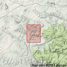
Named as member of Williams Fork formation for canyon about 3 mi west of Meeker, Rio Blanco Co, CO. No type locality designated. Occurs immediately east of mouth of Lion Canyon and forms prominent ledge along west side of west fork of Lion Canyon extending northeast to Goff Ranch where it turns east and ends in sec 19, T2N, R93W, Rio Blanco Co, CO, Piceance basin. Also recognized by occurrence of associated fossil shells in secs 16 and 6, T2N, R94W and again about 1,000 ft southwest of northwest corner of same township. Described as light-yellowish-brown, thick-bedded sandstone. Thickness at measured section in Anderson Gulch and along north side of White River is 100 ft. Overlies Goff coal group of Williams Fork; underlies Lion Canyon coal group of Williams Fork. Geologic map; stratigraphic chart; cross section. Late Cretaceous age.
Source: GNU records (USGS DDS-6; Denver GNULEX).
For more information, please contact Nancy Stamm, Geologic Names Committee Secretary.
Asterisk (*) indicates published by U.S. Geological Survey authors.
"No current usage" (†) implies that a name has been abandoned or has fallen into disuse. Former usage and, if known, replacement name given in parentheses ( ).
Slash (/) indicates name conflicts with nomenclatural guidelines (CSN, 1933; ACSN, 1961, 1970; NACSN, 1983, 2005, 2021). May be explained within brackets ([ ]).