

- Usage in publication:
-
- Lingos Formation
- Modifications:
-
- Named
- Dominant lithology:
-
- Sand
- Gravel
- Clay
- Silt
- AAPG geologic province:
-
- Palo Duro basin
- Permian basin
Summary:
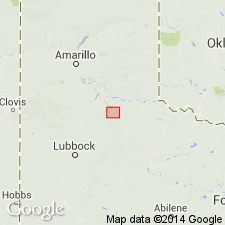
Named formation in Paducah Group (new). Mapped along parts of Colorado, Brazos, Red (Prairie Dog Town Fork) Rivers, and in inter river areas of Stonewall, Motley, Briscoe, Hall, Childress Cos, TX, Palo Duro and Permian basins. Covers an area 9,250 sq km. Geologic maps. Correlation chart. Type area is deep gully on east boundary of D.L. Smith farm, Quitaque, Briscoe Co, TX. Type section composite of several sections along gully extending 1.1 km north from Los Lingos Creek (source of name) where 47+/-km thick. Lower part fills in lows on Permian, Triassic, locally Tertiary strata. Divisible into: 1) lower part 3-40 m thick sand and gravel with clasts of Ogallala calcrete deposited in braided and meandering channels of broad alluvial-fan system that coalesced forming a broad bajada; 2) middle part 1-12 m thick clay that is organic rich, fossiliferous (gastropods, bivalves, ostracodes) and lacustrine origin; 3) upper part 3-30 m thick sand, sandy silt of eolian and fluvial origin and of paleosols at many localities. Rancholabrean fauna in coarse lower part less than 300 ka. Spans time from 300 ka to present (late Pleistocene and Holocene). Lower part approximately equivalent to Good Creek Formation; middle part approximately equivalent to Groesbeck Formation; upper part approximately equivalent to some unnamed lacustrine and palustrine deposits; these equivalents all assigned to Paducah Group, eastern and southern Rolling Plains of TX.
Source: GNU records (USGS DDS-6; Denver GNULEX).
- Usage in publication:
-
- Lingos Formation
- Modifications:
-
- Mapped 1:250k
- Dominant lithology:
-
- Sand
- Gravel
- AAPG geologic province:
-
- Palo Duro basin
- Permian basin
Summary:
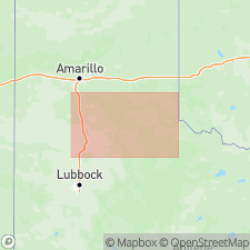
Lingos Formation. Consists of coalescing alluvial fan deposits extending eastward from the Eastern Caprock Escarpment, consisting of an upward-fining sequence from fluvial gravel to eolian sand and silt; includes lacustrine deposits and buried paleosols. Maximum thickness in normal sequence is about 130 feet, thickening to 250+ feet in subsidence areas. Age is Holocene and Pleistocene.
[Notable exposures in eastern half of map sheet, Armstrong, Briscoe, Childress, Collingsworth, Cottle, Donley, Floyd, Hall, and Motley Cos.]
Source: Publication.
For more information, please contact Nancy Stamm, Geologic Names Committee Secretary.
Asterisk (*) indicates published by U.S. Geological Survey authors.
"No current usage" (†) implies that a name has been abandoned or has fallen into disuse. Former usage and, if known, replacement name given in parentheses ( ).
Slash (/) indicates name conflicts with nomenclatural guidelines (CSN, 1933; ACSN, 1961, 1970; NACSN, 1983, 2005, 2021). May be explained within brackets ([ ]).