- Usage in publication:
-
- Lindsay Formation
- Modifications:
-
- First used
- Dominant lithology:
-
- Limestone
- Shale
- AAPG geologic province:
-
- Appalachian basin
Summary:
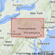
First used the Lindsay Formation of the Simcoe Group. Unit is subdivided into a lower member consisting of 20 feet of alternating gray shale and bluish, sublithographic limestone, overlain by about 50 feet of hard, brittle, blue, very finely crystalline limestone and an upper member consisting of soft, seminodular, sublithographic, calcareous claystone, the uppermost part of which is gray, bluish gray, and brown, sublithographic limestone with thin shale partings. Formation thickness is about 200 feet, but increases to 300 feet in Prince Edward County. Unit correlates with the Cobourg beds of the Ottawa Valley, the Cobourg Formation in NY, and Groos Quarry Formation in northern MI. Overlies the Verulam Formation of the Simcoe Group and underlies the Whitby Formation. The Lindsay is of Middle Ordovician age.
Source: GNU records (USGS DDS-6; Reston GNULEX).

- Usage in publication:
-
- Lindsay Formation
- Modifications:
-
- Areal extent
- Dominant lithology:
-
- Limestone
- Shale
- AAPG geologic province:
-
- Appalachian basin
Summary:
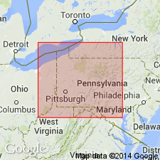
It is proposed that the name Lindsay Formation be used near Lake Erie in Erie Co., northwestern PA, where the Salona Formation and the overlying Coburn Formation lose their character and are replaced by calcarenite and shale. In northwestern PA the Salona Formation increases in thickness, becomes less argillaceous and more calcareous, and passes northward into a sequence of fossiliferous calcarenites and shales of the Lindsay Formation of Ontario. Overlies the Verulam Formation; underlies the Collingwood Formation. Age is Middle Ordovician.
Source: GNU records (USGS DDS-6; Reston GNULEX).

- Usage in publication:
-
- Lindsay Formation
- Modifications:
-
- Named
- Dominant lithology:
-
- Limestone
- Shale
- AAPG geologic province:
-
- Appalachian basin
Summary:
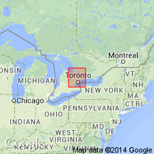
Named the Lindsay Formation of the Simcoe Group for Lindsay, Ontario, CAN. Consists of gray to greenish gray, fine-grained, argillaceous limestone in beds from 1 inch to 2 feet thick; includes shale partings as much as 2 inches thick along most bedding planes. Also includes interbeds of medium-crystalline, crinoidal limestone and calcarenite. In general unit weathers to a thin, rubbly, irregular bedded limestone. Contains abundant fossils. Lower contact with the Verulam Formation is placed below fine-grained, argillaceous limestone or blue, very fine-grained limestone and shale of the Lindsay and above the fine- to coarse-crystalline limestone of the upper member of the Verulam. Upper contact in commonly a disconformity and is marked by a change from very fine-grained to sublithographic limestone of the Lindsay to black, fissile, petroliferous, and calcareous shale of the Whitby Formation. Thickness is about 200 feet. The Lindsay is of Middle Ordovician age.
Source: GNU records (USGS DDS-6; Reston GNULEX).
For more information, please contact Nancy Stamm, Geologic Names Committee Secretary.
Asterisk (*) indicates published by U.S. Geological Survey authors.
"No current usage" (†) implies that a name has been abandoned or has fallen into disuse. Former usage and, if known, replacement name given in parentheses ( ).
Slash (/) indicates name conflicts with nomenclatural guidelines (CSN, 1933; ACSN, 1961, 1970; NACSN, 1983, 2005, 2021). May be explained within brackets ([ ]).

