- Usage in publication:
-
- Lime Hill member
- Modifications:
-
- Overview
- AAPG geologic province:
-
- Arkla basin
Summary:
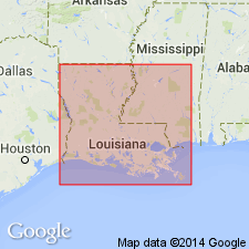
Pg. 13, 14. Lime Hill member of Logansport formation. Named in a stratigraphic summary of Louisiana lignite district. Name credited to G. Murray, Jr. Age is Paleocene.
Source: US geologic names lexicon (USGS Bull. 1200, p. 2170).

- Usage in publication:
-
- Lime Hill member
- Modifications:
-
- Principal reference
- Dominant lithology:
-
- Siltstone
- Shale
- Sandstone
- AAPG geologic province:
-
- Arkla basin
- East Texas basin
Summary:
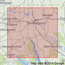
Pg. 48 (fig. 2), 57-58; G.E. Murray, 1948, Louisiana Dept. Conserv. Geol. Bull., no. 25, p. 117-122, pl. 10. Lime Hill member of Logansport formation. Consists of calcareous silt and shale of a cyclic pattern; heterogeneous; sudden lithologic changes, both vertically and horizontally, into more sandy phases not uncommon; clay-ball conglomerates common in northern part of outcrop where member is much less calcareous; and around Shreveport, consists of 50 to 75 feet of silty shale, silts, and sands with numerous concretionary boulders; thin seam of lignite near top. Attains its maximum thickness of 225 feet on southern flank of Sabine uplift. Overlies Cow Bayou member; underlies Loggy Bayou member of Summit Hill formation; all contacts gradational. Type locality designated. Mapped in Texas; outcrop area extends into Shelby County. Age is Paleocene.
Type locality: along LA Highway 180 in SW/4 sec. 23, T. 10 N., R. 11 W., and about 2.5 mi northeast of Pleasant Hill, Sabine Parish, LA. Named from exposures on and near Lime Hill. Outcrop area extends into Shelby County, TX.
Source: US geologic names lexicon (USGS Bull. 1200, p. 2170).

- Usage in publication:
-
- Lime Hill formation
- Modifications:
-
- Revised
- AAPG geologic province:
-
- Arkla basin
Summary:
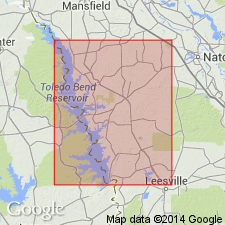
Pg. 58 (fig. 8), 59-62. Rank raised to formation in report on Sabine Parish, LA. At reference locality, herein designated, overlies Converse formation (new) and underlies "Hall Summit" formation. Thickness about 55 feet.
Reference sections: in SW/4 sec. 31, T. 10 N., R. 11 W., and SE/4 sec. 36, T. 10 N., R. 12 W., Sabine Parish, LA.
Source: US geologic names lexicon (USGS Bull. 1200, p. 2170).
For more information, please contact Nancy Stamm, Geologic Names Committee Secretary.
Asterisk (*) indicates published by U.S. Geological Survey authors.
"No current usage" (†) implies that a name has been abandoned or has fallen into disuse. Former usage and, if known, replacement name given in parentheses ( ).
Slash (/) indicates name conflicts with nomenclatural guidelines (CSN, 1933; ACSN, 1961, 1970; NACSN, 1983, 2005, 2021). May be explained within brackets ([ ]).

