- Usage in publication:
-
- Lierle Clay Member
- Modifications:
-
- Named
- Dominant lithology:
-
- Clay
- AAPG geologic province:
-
- Illinois basin
Summary:
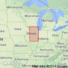
Lierle Clay Member of Banner Formation named in Adams Co., west-central IL, for Lierle Creek. Unit is composed of massive gray clay with silt and sand. Thickness 3 m. Underlies Loveland or Petersburg Silt, Glasford Formation, or younger deposits.
Source: GNU records (USGS DDS-6; Reston GNULEX).

- Usage in publication:
-
- Lierle Clay Member
- Modifications:
-
- Overview
- AAPG geologic province:
-
- Illinois basin
Summary:
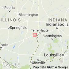
Banner Formation in the study area includes two members: the informal Casey till member and the overlying Lierle Clay Member. The Lierle is composed of soft, leached clay and silty clay diamicton that commonly becomes finer upward. Mineralogy is dominated by smectite. Interpreted to have been deposited as pedogenically altered colluvium, alluvium, or lacustrine sediment. Locally contains the Yarmouth Soil. Reaches 8.5 ft in thickness east of the Martinsville alternative site, but is less than two ft thick in borings at the site. Overlies bedrock or the Casey till member in the study area and underlies the Smithboro Till Member of the Glasford Formation. Relationship with Martinsville sand is unknown. Age is Pleistocene (Yarmouthian).
Source: GNU records (USGS DDS-6; Reston GNULEX).
For more information, please contact Nancy Stamm, Geologic Names Committee Secretary.
Asterisk (*) indicates published by U.S. Geological Survey authors.
"No current usage" (†) implies that a name has been abandoned or has fallen into disuse. Former usage and, if known, replacement name given in parentheses ( ).
Slash (/) indicates name conflicts with nomenclatural guidelines (CSN, 1933; ACSN, 1961, 1970; NACSN, 1983, 2005, 2021). May be explained within brackets ([ ]).

