

- Usage in publication:
-
- Lewis Sandstone Member
- Modifications:
-
- Overview
- Revised
- AAPG geologic province:
-
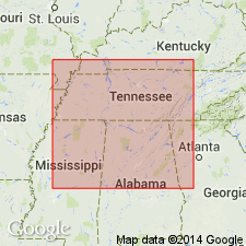
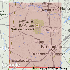
- Black Warrior basin
Summary:
In the subsurface, the Pride Mountain contains two major mappable sandstone members, the Lewis and the Evans. The Evans undergoes a facies change in southeastern Monroe and northern Lowndes Cos., MS, and becomes the lowest resistive black shale unit of the Neal Black Shale. The Lewis is continuous across the entire northern shelf of the basin and does not undergo a downdip facies change. Johnson (1988) recognized four coarsening- and shallowing-upward siliciclastic "cycles." He correlated his first (oldest) cycle with the Lewis and his third cycle with the Evans.
Source: GNU records (USGS DDS-6; Reston GNULEX).
- Usage in publication:
-
- Lewis cycle
- Modifications:
-
- Overview
- AAPG geologic province:
-
- Black Warrior basin
Summary:
Upper Mississippian Lewis cycle of the Pride Mountain Formation has long been recognized as a major producer of oil, gas and other petroleum resources. Unit is widespread and heterogeneous and forms base of Chesterian. Contains a basal limestone, a lower shale facies, the Lewis sandstone, and upper shale facies, and the Lewis limestone. Strata equivalent to the Lewis is contained in the Floyd Shale to the southwest. Thickness of the Lewis cycle ranges from less than 50 ft in the eastern part of the study area to more than 100 ft in the southwestern part. Investigation of depositional environment is major purpose of this study as Lewis represents a wide spectrum of marginal- and open-marine environments.
Source: GNU records (USGS DDS-6; Reston GNULEX).
For more information, please contact Nancy Stamm, Geologic Names Committee Secretary.
Asterisk (*) indicates published by U.S. Geological Survey authors.
"No current usage" (†) implies that a name has been abandoned or has fallen into disuse. Former usage and, if known, replacement name given in parentheses ( ).
Slash (/) indicates name conflicts with nomenclatural guidelines (CSN, 1933; ACSN, 1961, 1970; NACSN, 1983, 2005, 2021). May be explained within brackets ([ ]).