- Usage in publication:
-
- Leola volcanics*
- Modifications:
-
- Named
- Dominant lithology:
-
- Greenstone
- Schist
- AAPG geologic province:
-
- Northern Rocky Mountain region
Summary:
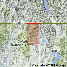
Named for section at Leola Peak, Pend Oreille Co, WA. No type locality designated. Occurs within the Metaline quadrangle in the extreme northeast corner of WA, and extends into northwest corner of ID, in Boundary Co, Northern Rocky Mountain region. Crops out in two major linear outcrop belts. The first extends from the international boundary toward the southwest where it appears to pinch out before reaching Pass Creek. Reappears as second outcrop belt south of Hall Mountain, extending southwestward and southward around border of Kaniksu batholith to Anderson Lake. Forms rugged hills and ridges. Consists of principally homogeneous dark to grayish-green greenstone and green schist whose maximum thickness is about 9,000+ ft. Thin beds of dolomite, phyllite, and quartzite crop out sparsely within greenstone areas. The greenstone has schistosity. Sheared amygdaloidal and pillow structures recognized. Some of the greenstone may be altered sills or discordant intrusive bodies. Correlated with the Irene volcanics of Daly (1912). Overlies Shedroof conglomerate (new); unconformably underlies Monk formation. Geologic map. Correlation chart. Of pre-Cambrian age.
Source: GNU records (USGS DDS-6; Denver GNULEX).

- Usage in publication:
-
- Leola Volcanics*
- Modifications:
-
- Age modified
- AAPG geologic province:
-
- Okanogan province
Summary:
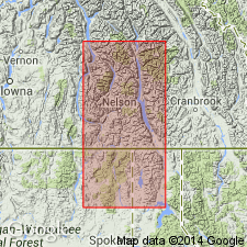
Age of the Leola Volcanics is Late Proterozoic.
Source: GNU records (USGS DDS-6; Menlo GNULEX).
For more information, please contact Nancy Stamm, Geologic Names Committee Secretary.
Asterisk (*) indicates published by U.S. Geological Survey authors.
"No current usage" (†) implies that a name has been abandoned or has fallen into disuse. Former usage and, if known, replacement name given in parentheses ( ).
Slash (/) indicates name conflicts with nomenclatural guidelines (CSN, 1933; ACSN, 1961, 1970; NACSN, 1983, 2005, 2021). May be explained within brackets ([ ]).

