

- Usage in publication:
-
- Leo sandstone
- Modifications:
-
- Informally named
- Dominant lithology:
-
- Sandstone
- AAPG geologic province:
-
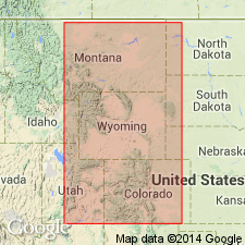
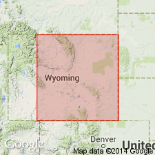
- Powder River basin
Summary:
Pg. 680, 683. Leo sandstone (informal). Named applied to oil-producing zone in middle of Minnelusa formation in Lance Creek oil field, Niobrara County, Wyoming. Lies 500 to 575 feet below top of formation. [Age is Pennsylvanian.]
[Probably named from Ohio Oil Company, Leo No. 1 well, in NW/4 SE/4 sec. 35, T. 36 N., R. 65 W., Niobrara Co., northeastern WY.]
Source: Publication; GNU records (USGS DDS-6; Denver GNULEX).
- Usage in publication:
-
- Leo sand
- Modifications:
-
- Areal extent
- AAPG geologic province:
-
- Powder River basin
Summary:
Extends name, gives thickness, and shows stratigraphic position within the middle part of the Minnelusa formation in representative sections in the Dewey dome oil field, Weston Co, WY, and the Mule Creek and Lance Creek oil fields, Niobrara Co, WY in the Powder River basin. Pennsylvanian in age.
Source: GNU records (USGS DDS-6; Denver GNULEX).
- Usage in publication:
-
- Leo sandstone zone
- Modifications:
-
- Areal extent
- AAPG geologic province:
-
- Powder River basin
- Chadron arch
Summary:
Extends name from Niobrara Co, WY northeastward into Fall River and Custer Cos, SD in the Powder River basin and on the Chadron arch. A sandstone bed or zone in the middle part of the Minnelusa formation. Pennsylvanian in age.
Source: GNU records (USGS DDS-6; Denver GNULEX).
- Usage in publication:
-
- Leo sands
- Modifications:
-
- Overview
- AAPG geologic province:
-
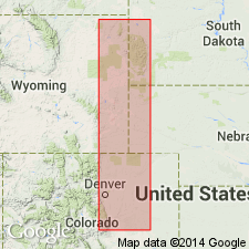
- Powder River basin
- Denver basin
Summary:
Occurs below the "red marker" [in the Wendover-Meek and Hayden groups (Divisions II and III) of the Hartville formation in Niobrara, Platte, and Goshen Counties, Wyoming, in the Powder River and Denver basins]. Numbered locally, with the upper one known as the first Leo. Are eastward tongues of the Casper formation. Age is Middle and Late Pennsylvanian.
Source: GNU records (USGS DDS-6; Denver GNULEX).
- Usage in publication:
-
- Leo Formation
- Modifications:
-
- Revised
- AAPG geologic province:
-
- Chadron arch
Summary:
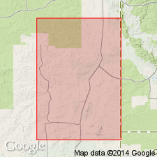
Revised as a formal unit, the Leo Formation; was previously considered an informal term--Leo sandstone of Minnelusa Formation--by Hunt (1938). [No change indicated by author of use or stratigraphic rank of the Minnelusa.] Occurs in subsurface of the North Hollingsworth field which is located on the southwest flank of the Black Hills uplift in Fall River Co, SD on the Chadron arch. Covers approximately 160 acres in secs 19 and 20, T10S, R1E, Fall River Co. Divided into (ascending): 4th Leo, 3rd Leo, 2nd Leo, and 1st Leo in the N. Hollingsworth Federal #1 in T10S, R1E. Unit is base of section; underlies a distinctive thin shale unit called Red Shale marker, which separates it from the Converse Formation (revised). Stratigraphic section. Structure map. Cross sections. Isopach maps of parts of Leo. Is of Pennsylvanian age.
Source: GNU records (USGS DDS-6; Denver GNULEX).
For more information, please contact Nancy Stamm, Geologic Names Committee Secretary.
Asterisk (*) indicates published by U.S. Geological Survey authors.
"No current usage" (†) implies that a name has been abandoned or has fallen into disuse. Former usage and, if known, replacement name given in parentheses ( ).
Slash (/) indicates name conflicts with nomenclatural guidelines (CSN, 1933; ACSN, 1961, 1970; NACSN, 1983, 2005, 2021). May be explained within brackets ([ ]).