- Usage in publication:
-
- Leitchfield marls
- Modifications:
-
- First used
- Dominant lithology:
-
- Shale
- AAPG geologic province:
-
- Illinois basin
Summary:
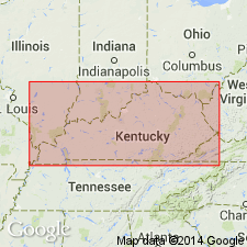
A measured section and a graphic section in this publication show Litchfield marls and Leitchfield marls some 55 ft above top of Big Clifty sandstone. According to McFarlan (1943) this is first use of Leitchfield as formation name.
Source: GNU records (USGS DDS-6; Reston GNULEX).
- Usage in publication:
-
- Leitchfield formation
- Modifications:
-
- Overview
- Dominant lithology:
-
- Shale
- Limestone
- Sandstone
- AAPG geologic province:
-
- Illinois basin
Summary:
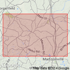
Designated Leitchfield formation and shown on geologic map. Composed of limestone, shale, and sandstone. Thickness not known but may be 400 to 600 ft. Overlain by basal conglomerate of Pennsylvanian rocks. Mississippian age.
Source: GNU records (USGS DDS-6; Reston GNULEX).
- Usage in publication:
-
- Leitchfield Formation*
- Modifications:
-
- Overview
- AAPG geologic province:
-
- Illinois basin
Summary:
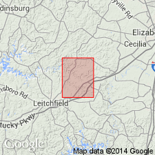
Leitchfield Formation adopted for use in Kentucky by U. S. Geological Survey. "Interbedded shale, siltstone, and sandstone: Shale is dark gray or olive brown; siltstone is thin bedded, greenish gray, and has wavy, irregular bedding planes; sandstone is thin bedded, yellow to light brown, fine grained, limonitic, and contains poorly preserved molds and casts of brachiopods and bryozoans. Only lower part of formation present." Thickness is 40+ ft. Underlain by Glen Dean Limestone.
Source: GNU records (USGS DDS-6; Reston GNULEX).
- Usage in publication:
-
- Leitchfield Formation*
- Modifications:
-
- Revised
- AAPG geologic province:
-
- Illinois basin
Summary:
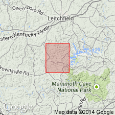
Tar Springs Sandstone reduced in rank to basal Member of Leitchfield Formation in area of report.
Source: GNU records (USGS DDS-6; Reston GNULEX).
- Usage in publication:
-
- Leitchfield Formation*
- Modifications:
-
- Revised
- AAPG geologic province:
-
- Illinois basin
Summary:
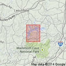
Vienna Limestone Member assigned to Leitchfield Formation for area of report.
Source: GNU records (USGS DDS-6; Reston GNULEX).
For more information, please contact Nancy Stamm, Geologic Names Committee Secretary.
Asterisk (*) indicates published by U.S. Geological Survey authors.
"No current usage" (†) implies that a name has been abandoned or has fallen into disuse. Former usage and, if known, replacement name given in parentheses ( ).
Slash (/) indicates name conflicts with nomenclatural guidelines (CSN, 1933; ACSN, 1961, 1970; NACSN, 1983, 2005, 2021). May be explained within brackets ([ ]).

