- Usage in publication:
-
- LeConte gneiss
- Modifications:
-
- Named
- Dominant lithology:
-
- Metagabbro
- Gneiss
- AAPG geologic province:
-
- Cascades province
Summary:
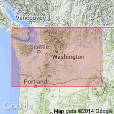
LeConte gneiss crops out along southwestern margin of central belt south of Cascade Pass, Northern Cascade Mountains WA. Consists of Marblemount meta-quartz diorite [!], metagabbro, subordinate schistose hornblendite, and trondhjemitic gneiss. Grades eastward into Magic Mountain gneiss (new). May be correlative with pre-Devonian crystalline basement complex (Yellow Aster unit). A high-angle fault, LeConte fault, separates low-grade LeConte gneiss from medium-grade metasedimentary rocks of first belt (Snowking-Dome Peak massifs).
Source: GNU records (USGS DDS-6; Menlo GNULEX).
For more information, please contact Nancy Stamm, Geologic Names Committee Secretary.
Asterisk (*) indicates published by U.S. Geological Survey authors.
"No current usage" (†) implies that a name has been abandoned or has fallen into disuse. Former usage and, if known, replacement name given in parentheses ( ).
Slash (/) indicates name conflicts with nomenclatural guidelines (CSN, 1933; ACSN, 1961, 1970; NACSN, 1983, 2005, 2021). May be explained within brackets ([ ]).

