

- Usage in publication:
-
- Le Boeuf conglomerate
- Modifications:
-
- Named
- Dominant lithology:
-
- Conglomerate
- Sandstone
- AAPG geologic province:
-
- Appalachian basin
Summary:
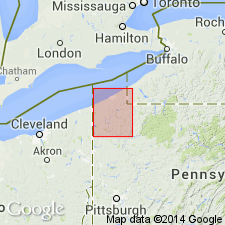
The Venango Lower sandstone (Third oil sand), 30 ft thick, is equivalent to the Le Boeuf conglomerate and the Panama conglomerate, which is exposed in Le Boeuf Twp, Erie Co., along French Creek, and has been quarried on the left bank of the creek 1 mi southwest of Le Boeuf Station, where it consists of 7 ft of pebbly rock underlain by 8 ft of bluish white sandstone. East of Le Boeuf Creek it is partly coarse conglomerate containing a great many pebbles of metamorphic rock. Age is Late Devonian or Mississippian.
Source: GNU records (USGS DDS-6; Reston GNULEX).
- Usage in publication:
-
- Le Boeuf Member
- Modifications:
-
- Areal extent
- AAPG geologic province:
-
- Appalachian basin
Summary:
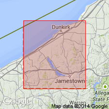
Recent mapping by Baird in western Chautauqua Co. indicates that the Panama Conglomerate Member of the Cattaraugus Formation correlates to a thinner white (quartz-rich) sandstone, the Le Boeuf Member which can be observed near Sherman and Summerdale. This is an extension of the Le Boeuf into NY.
Source: GNU records (USGS DDS-6; Reston GNULEX).
For more information, please contact Nancy Stamm, Geologic Names Committee Secretary.
Asterisk (*) indicates published by U.S. Geological Survey authors.
"No current usage" (†) implies that a name has been abandoned or has fallen into disuse. Former usage and, if known, replacement name given in parentheses ( ).
Slash (/) indicates name conflicts with nomenclatural guidelines (CSN, 1933; ACSN, 1961, 1970; NACSN, 1983, 2005, 2021). May be explained within brackets ([ ]).