

- Usage in publication:
-
- Lawler Peak granite*
- Modifications:
-
- Named
- Geochronologic dating
- Dominant lithology:
-
- Granite
- AAPG geologic province:
-
- Southwestern Basin-and-Range region
Summary:
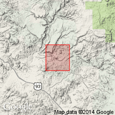
Named for the well-exposed granitic mass that outcrops continuously over a 9 sq mi area centered on Lawler Peak in the northern part of the mapped area, Yavapai Co, AZ in Southwestern Basin-and-Range region. No type locality designated. Also occurs as smaller, discrete masses associated with rocks of the Yavapai series, and with unnamed gabbro, and granodiorite gneiss. Disconcordantly intrudes Yavapai series, unnamed gabbro, alaskite porphyry, and granodiorite gneiss, but locally is concordant with Hillside mica schist (new). Is intruded by Cheney Gulch granite (new), aplite-pegmatite dikes, and by much younger quartz-monzonite and related dikes. Gila? conglomerate and associated lava flows locally accumulated on Lawler Peak granite erosional surfaces. Consists of 4 facies: 1) Main facies--typical of area and consists of a porphyritic biotite-muscovite granite with large (about 3") orthoclase phenocrysts. Contacts with older units are often poorly defined. Outliers in southern part of mapped area are presumed roof pendants or xenoliths; 2) Muscovite facies--characterized by lack of biotite. Present in northern exposures; 3) Gneissic facies--foliated near Centipede Mesa and near Bridle Creek; 4) Altered facies--intensely sericitized near Hillside Mine. Is of Precambrian age based on a 1,600 m.y. date obtained by K-Ar and Rb-Sr methods.
Source: GNU records (USGS DDS-6; Denver GNULEX).
- Usage in publication:
-
- Lawler Peak Granite
- Modifications:
-
- Areal extent
- AAPG geologic province:
-
- Southwestern Basin-and-Range region
Summary:
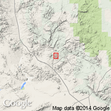
Restricted to granitic rocks 4 km north of Bagdad near Lawler Peak, for which the unit was named, western Yavapai Co, AZ in Southwestern Basin-and-Range region. Not present in mapped area south of Old Dick Mine and east of Mountain Spring fault as shown by Anderson, Scholz, and Strobell, Jr., (1955). In mapped area, units formerly assigned to Lawler Peak Granite by Anderson and others (1955) are now mapped as youngest intrusive unit of Early Proterozoic age. Post dates deformation and amphibolite facies metamorphism, and is considered Middle Proterozoic in age.
Source: GNU records (USGS DDS-6; Denver GNULEX).
For more information, please contact Nancy Stamm, Geologic Names Committee Secretary.
Asterisk (*) indicates published by U.S. Geological Survey authors.
"No current usage" (†) implies that a name has been abandoned or has fallen into disuse. Former usage and, if known, replacement name given in parentheses ( ).
Slash (/) indicates name conflicts with nomenclatural guidelines (CSN, 1933; ACSN, 1961, 1970; NACSN, 1983, 2005, 2021). May be explained within brackets ([ ]).