- Usage in publication:
-
- Laurel migmatite
- Modifications:
-
- Named
- Dominant lithology:
-
- Migmatite
- Gneiss
- AAPG geologic province:
-
- Piedmont-Blue Ridge province
Summary:
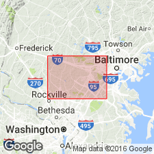
Name Laurel migmatite introduced on this map for granitized schist mixed with impure granite mapped in vicinity of Laurel, Prince Georges Co., MD, 17 mi southwest of Baltimore. Described as muscovite and biotite granite. Age unknown.
Source: GNU records (USGS DDS-6; Reston GNULEX).
- Usage in publication:
-
- Laurel gneiss, pseudomigmatite
- Modifications:
-
- Revised
- AAPG geologic province:
-
- Piedmont-Blue Ridge province
Summary:
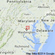
Although Laurel gneiss resembles a true migmatite, term pseudomigmatite is more appropriate. Gneiss is bounded on north by Guilford granite and Wissahickon formation, on northeast by gabbro, on east by Cretaceous gravels, on south by gneiss, and on west by the Wissahickon.
Source: GNU records (USGS DDS-6; Reston GNULEX).
- Usage in publication:
-
- Laurel gneiss
- Modifications:
-
- Overview
- AAPG geologic province:
-
- Piedmont-Blue Ridge province
Summary:
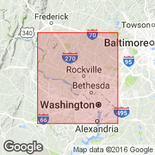
Mapped in Montgomery Co. as Laurel gneiss. Very similar to Sykesville formation and possibly its equivalent southwest of Woodstock anticlinorium.
Source: GNU records (USGS DDS-6; Reston GNULEX).
- Usage in publication:
-
- Laurel Formation
- Modifications:
-
- Revised
- AAPG geologic province:
-
- Piedmont-Blue Ridge province
Summary:
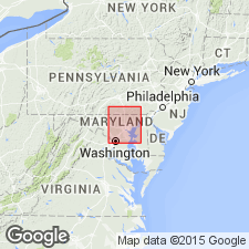
Unit mapped as Laurel Formation. Part of Glenarm series. Age is Late Precambrian or Cambrian.
Source: GNU records (USGS DDS-6; Reston GNULEX).
- Usage in publication:
-
- Laurel lithofacies
- Modifications:
-
- Revised
- AAPG geologic province:
-
- Piedmont-Blue Ridge province
Summary:
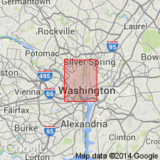
Laurel included in Wissahickon Formation as a lithofacies. Age given as Late Precambrian(?).
Source: GNU records (USGS DDS-6; Reston GNULEX).
- Usage in publication:
-
- Laurel Formation*
- Modifications:
-
- Overview
- Dominant lithology:
-
- Meta-arenite
- Schist
- Amphibolite
- AAPG geologic province:
-
- Piedmont-Blue Ridge province
Summary:
The Laurel Formation in the mapped area consists of sedimentary melange quartzofeldspathic matrix containing quartz "eyes" and fragments of meta-arenite, biotite schist, actinolite schist, and amphibolite. Upper part of unit contains more 50 percent olistoliths of meta-arenite and biotite schist. The Laurel is of Early Cambrian age.
Source: GNU records (USGS DDS-6; Reston GNULEX).
For more information, please contact Nancy Stamm, Geologic Names Committee Secretary.
Asterisk (*) indicates published by U.S. Geological Survey authors.
"No current usage" (†) implies that a name has been abandoned or has fallen into disuse. Former usage and, if known, replacement name given in parentheses ( ).
Slash (/) indicates name conflicts with nomenclatural guidelines (CSN, 1933; ACSN, 1961, 1970; NACSN, 1983, 2005, 2021). May be explained within brackets ([ ]).

